|
search place name
|
||
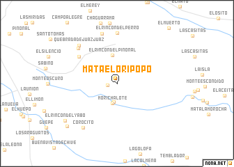
Mata el Oripopo (Monagas, Venezuela)Mata el Oripopo is a town in the Monagas region of Venezuela. An overview map of the region around Mata el Oripopo is displayed below.
regional and 3d topo map of Mata el Oripopo, Venezuela ::
Mata el Oripopo airports ::
The nearest airport is SOM - San Tome, located 50.7 km south west of Mata el Oripopo.
Other airports nearby include AAO - Anaco (88.1 km west), MUN - Maturin (93.3 km north east), CBL - Ciudad Bolivar (113.3 km south), PZO - Guayana General Manuel Carlos Piar (141.3 km south east), Nearby towns ::
Mata La Baquira (1.5km west) //
El Rosario (2.9km south) //
Morichalote (3.2km south) //
El Rincón del Piñonal (4.6km north) //
Cherespay (7.4km north west) //
El Rincón del Perro (8.1km north) //
Los Mangos (8.3km north west) //
Chaguaramos (8.3km north) //
Quebrada de Juaz Juaz (8.6km north west) //
Corocito (8.9km south west) //
El Rincón del Yabo (10.2km south west) //
La Uvaquera (10.4km south west) //
El Muerto (12.1km north east) //
[all distances 'as the bird flies' and approximate] 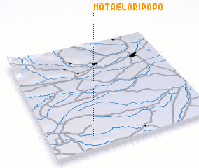 Places with similar names to Mata el Oripopo, Venezuela :: Disclaimer :: Information on this page comes without warranty of any kind |
||
|
Where is Mata el Oripopo? Elevation and coordinates ::
Latitude (lat): 9°7'42"N Longitude (lon): 63°43'42"W
Elevation (approx.): 178m (map arrows pan, magnifying glasses zoom) |
||
|
Visiting Mata el Oripopo? Hotel/Accommodation ::
Book a hotel in Mata el Oripopo Travel Guide ::
Buy a travel guide for Venezuela rental cars ::
car rental offers GPS waypoint ::
download a GPX waypoint (PoI) of Mata el Oripopo for your GPS receiver
|
||