|
search place name
|
||
Naranjitos (Portuguesa, Venezuela)Naranjitos is a town in the Portuguesa region of Venezuela. An overview map of the region around Naranjitos is displayed below.
regional and 3d topo map of Naranjitos, Venezuela ::

Naranjitos airports ::
The nearest airport is GUQ - Guanare, located 30.0 km west of Naranjitos.
Other airports nearby include AGV - Acarigua Oswaldo Guevara Mujica (61.6 km north east), BNS - Barinas (94.2 km south west), BRM - Barquisimeto Intl (110.4 km north), VLV - Valera Dr Antonio Nicolas Briceno (125.0 km west), Nearby towns ::
La Montaña (2.2km north) //
El Mamón (2.6km north east) //
Rincón de Barrios (3.7km east) //
El Barriero (4.4km south east) //
El Rincón (5.3km north west) //
Flor Amarilla (6.1km north east) //
Las Cachamitas (6.3km north) //
Laguna de los Palos (7.1km south west) //
Guayabal (7.8km south east) //
San Pablo (7.9km east) //
El Milagro (8.0km north east) //
La Quesera (8.0km east) //
Gallardero (9.9km south east) //
[all distances 'as the bird flies' and approximate] 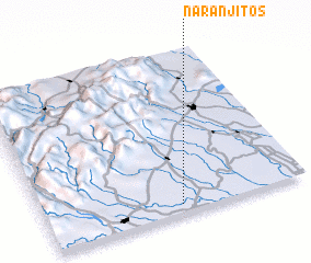 Places with similar names to Naranjitos, Venezuela ::
// Naranjitos (CO)
// Naranjadas (MX)
// Naranjitas (MX)
// Naranjitos (MX)
// Naranjitos (MX)
// Naranjitos (PE)
// Naranjitas (BO)
// Naranjitos (BO)
Disclaimer :: Information on this page comes without warranty of any kind |
||
|
Where is Naranjitos? Elevation and coordinates ::
Latitude (lat): 9°3'10"N Longitude (lon): 69°29'2"W
Elevation (approx.): 115m (map arrows pan, magnifying glasses zoom) |
||
|
Visiting Naranjitos? Hotel/Accommodation ::
Book a hotel in Naranjitos Travel Guide ::
Buy a travel guide for Venezuela rental cars ::
car rental offers GPS waypoint ::
download a GPX waypoint (PoI) of Naranjitos for your GPS receiver
|
||