|
search place name
|
||
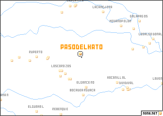
Paso del Hato (Guárico, Venezuela)Paso del Hato is a town in the Guárico region of Venezuela. An overview map of the region around Paso del Hato is displayed below.
regional and 3d topo map of Paso del Hato, Venezuela ::
Paso del Hato airports ::
The nearest airport is SFD - San Fernando De Apure, located 76.7 km west of Paso del Hato.
Other airports nearby include VDP - Valle De La Pascua (174.4 km north east), PCR - Puerto Carreno (200.3 km south west), Nearby towns ::
Los Arrendajos (5.2km south west) //
Los Corozos (5.4km south west) //
Maravilla (5.5km south west) //
Maravilla (5.6km south west) //
Los Corozos (5.8km south west) //
Las Guanameras (6.3km south west) //
El Garcero (6.8km south) //
La Venada Rabanalito (7.6km west) //
Rabanalito (7.8km west) //
Boca de Arguaca (8.5km south) //
Macanillal (9.9km south east) //
[all distances 'as the bird flies' and approximate] 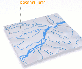 Places with similar names to Paso del Hato, Venezuela ::
// Pesteau-le-Haut (FR)
Disclaimer :: Information on this page comes without warranty of any kind |
||
|
Where is Paso del Hato? Elevation and coordinates ::
Latitude (lat): 7°50'12"N Longitude (lon): 66°45'2"W
Elevation (approx.): 40m (map arrows pan, magnifying glasses zoom) |
||
|
Visiting Paso del Hato? Hotel/Accommodation ::
Book a hotel in Paso del Hato Travel Guide ::
Buy a travel guide for Venezuela rental cars ::
car rental offers GPS waypoint ::
download a GPX waypoint (PoI) of Paso del Hato for your GPS receiver
|
||