|
search place name
|
||
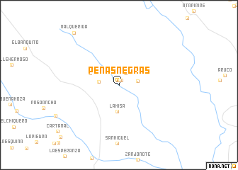
Peñas Negras (Anzoátegui, Venezuela)Peñas Negras is a town in the Anzoátegui region of Venezuela. An overview map of the region around Peñas Negras is displayed below.
regional and 3d topo map of Peñas Negras, Venezuela ::
Peñas Negras airports ::
The nearest airport is SOM - San Tome, located 76.5 km north east of Peñas Negras.
Other airports nearby include CBL - Ciudad Bolivar (106.1 km east), AAO - Anaco (121.3 km north), PZO - Guayana General Manuel Carlos Piar (189.1 km east), VDP - Valle De La Pascua (193.7 km north west), Nearby towns ::
San Manuel (0.8km north) //
Mereizote (0.9km north east) //
Cogollal (2.1km north east) //
El Aro (2.9km east) //
Guaro (3.2km west) //
La Misa (4.1km south) //
El Guasey (4.8km west) //
Malquerida (10.7km north west) //
[all distances 'as the bird flies' and approximate] 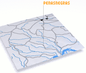 Places with similar names to Peñas Negras, Venezuela ::
// Peñas Negras (ES)
// Peñas Negras (MX)
// Peñas Negras (VE)
// Peñas Negras (VE)
// Peñas Negras (VE)
// Peñas Negras (VE)
// Peñas Negras (VE)
// Peñas Negras (VE)
// Peñas Negras (VE)
// Peñas Negras (VE)
Disclaimer :: Information on this page comes without warranty of any kind |
||
|
Where is Peñas Negras? Elevation and coordinates ::
Latitude (lat): 8°20'2"N Longitude (lon): 64°28'34"W
Elevation (approx.): 108m (map arrows pan, magnifying glasses zoom) |
||
|
Visiting Peñas Negras? Hotel/Accommodation ::
Book a hotel in Peñas Negras Travel Guide ::
Buy a travel guide for Venezuela rental cars ::
car rental offers GPS waypoint ::
download a GPX waypoint (PoI) of Peñas Negras for your GPS receiver
|
||