|
search place name
|
||
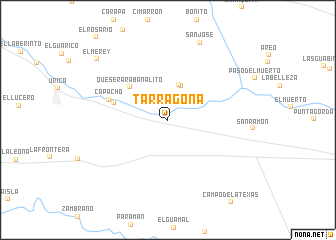
Tarragona (Monagas, Venezuela)Tarragona is a town in the Monagas region of Venezuela. An overview map of the region around Tarragona is displayed below.
regional and 3d topo map of Tarragona, Venezuela ::
Tarragona airports ::
The nearest airport is AAO - Anaco, located 69.0 km south west of Tarragona.
Other airports nearby include MUN - Maturin (81.8 km east), SOM - San Tome (86.2 km south), CUM - Cumana Antonio Jose De Sucre (88.7 km north), BLA - Barcelona General Jose Antonio Anzoategui Intl (98.8 km north west), Nearby towns ::
Rabanalito (2.0km north) //
La Chaguarama (4.0km north) //
Las Monjas (4.1km north) //
Quesera Rabanalito (5.6km north west) //
Medina (6.2km west) //
Capacho (6.9km west) //
San José (9.4km north) //
El Merey (10.4km north west) //
[all distances 'as the bird flies' and approximate] 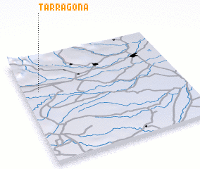 Places with similar names to Tarragona, Venezuela ::
Disclaimer :: Information on this page comes without warranty of any kind |
||
|
Where is Tarragona? Elevation and coordinates ::
Latitude (lat): 9°40'57"N Longitude (lon): 63°53'46"W
Elevation (approx.): 275m (map arrows pan, magnifying glasses zoom) |
||
|
Visiting Tarragona? Hotel/Accommodation ::
Book a hotel in Tarragona Travel Guide ::
Buy a travel guide for Venezuela rental cars ::
car rental offers GPS waypoint ::
download a GPX waypoint (PoI) of Tarragona for your GPS receiver
|
||