|
search place name
|
||
Upata (Bolívar, Venezuela)Upata is a town in the Bolívar region of Venezuela. An overview map of the region around Upata is displayed below.
regional and 3d topo map of Upata, Venezuela ::

Upata airports ::
The nearest airport is PZO - Guayana General Manuel Carlos Piar, located 50.5 km north west of Upata.
Other airports nearby include TUV - Tucupita (124.1 km north), CBL - Ciudad Bolivar (126.1 km west), CAJ - Canaima (202.8 km south), MUN - Maturin (209.6 km north west), Nearby towns ::
El Guamito (2.0km south east) //
San Lorenzo (2.8km south) //
Moncerrat (3.3km south) //
La Providencia (3.9km south east) //
La Laja (4.2km south) //
El Jobo (4.7km east) //
Sabanetica (5.4km west) //
Las Calcetas (6.7km west) //
Mamonal (6.9km north) //
California (6.9km north west) //
Mundo Nuevo (7.1km north west) //
Los Jabillos (7.3km north east) //
Cacahual (7.7km north west) //
Altagracia (7.7km north) //
Cupapuy (8.2km south) //
Santa Rosa (8.4km south) //
Los Mamonales (8.4km north west) //
San Martín (9.0km west) //
El Perico (9.4km south east) //
Piedras Blancas (10.5km south west) //
El Tigre (11.4km south west) //
[all distances 'as the bird flies' and approximate] 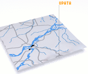 Places with similar names to Upata, Venezuela ::
Disclaimer :: Information on this page comes without warranty of any kind |
||
|
Where is Upata? Elevation and coordinates ::
Latitude (lat): 8°0'31"N Longitude (lon): 62°23'56"W
Elevation (approx.): 364m (map arrows pan, magnifying glasses zoom) |
||
|
Visiting Upata? Hotel/Accommodation ::
Book a hotel in Upata Travel Guide ::
Buy a travel guide for Venezuela rental cars ::
car rental offers GPS waypoint ::
download a GPX waypoint (PoI) of Upata for your GPS receiver
|
||