|
search place name
|
||
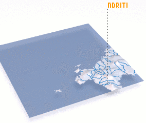
Ndriti (Fiji)Ndriti is a town in Fiji. An overview map of the region around Ndriti is displayed below.
regional and 3d topo map of Ndriti, Fiji ::

Ndriti airports ::
The nearest airport is LMG - Lambasa Labasa, located 79.4 km north east of Ndriti.
Other airports nearby include SUV - Nausori Intl (129.7 km south), NAN - Nandi Nadi Intl (167.7 km south west), Nearby towns ::
 Places with similar names to Ndriti, Fiji ::
// Niederried (CH)
// Niederreit (AT)
// Naturita (US)
// Niederrod (DE)
// Niederrad (DE)
// Niederried (DE)
// Nitardi (BD)
// Ndroudé (KM)
// Ndurutu (KE)
// Ndiarato (SN)
Disclaimer :: Information on this page comes without warranty of any kind |
||
|
Where is Ndriti? Elevation and coordinates ::
Latitude (lat): 16°53'0"S Longitude (lon): 178°44'0"E
Elevation (approx.): 195m (map arrows pan, magnifying glasses zoom) |
||
|
Visiting Ndriti? Hotel/Accommodation ::
Book a hotel in Ndriti Travel Guide ::
Buy a travel guide for Fiji rental cars ::
car rental offers GPS waypoint ::
download a GPX waypoint (PoI) of Ndriti for your GPS receiver
|
||