|
search place name
|
||
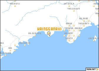
Waingganaki (Fiji)Waingganaki is a town in Fiji. An overview map of the region around Waingganaki is displayed below.
regional and 3d topo map of Waingganaki, Fiji ::
Waingganaki airports ::
The nearest airport is SUV - Nausori Intl, located 22.7 km north east of Waingganaki.
Other airports nearby include NAN - Nandi Nadi Intl (106.4 km north west), LMG - Lambasa Labasa (211.5 km north east), Nearby towns ::
Muaivuso (0.0km north) //
Na Vasi (4.0km north west) //
Nia Vakamothe (4.0km north west) //
Kalokolevu (5.3km west) //
Suva (5.3km east) //
Lami (5.6km east) //
Suvavou (5.6km east) //
Walu Bay (7.0km east) //
Nathovu (7.0km east) //
Toorak (7.0km east) //
Korovou (7.3km east) //
Tamavua (7.3km east) //
The Domain (7.3km east) //
Veiuto (7.3km east) //
Wailoku (8.0km north east) //
Warua (8.0km north east) //
[all distances 'as the bird flies' and approximate]  Places with similar names to Waingganaki, Fiji ::
// Winniconic (US)
// Wangngae (ID)
// Wanganga (NG)
// Hwanggang (KR)
// Wān Kang (MM)
// Wān Kawng (MM)
// Wān Nā-king (MM)
// Wenkeng (CN)
// Weng'ang (CN)
// Wān Nā-kawng (MM)
Disclaimer :: Information on this page comes without warranty of any kind |
||
|
Where is Waingganaki? Elevation and coordinates ::
Latitude (lat): 18°8'0"S Longitude (lon): 178°22'0"E
Elevation (approx.): 13m (map arrows pan, magnifying glasses zoom) |
||
|
Visiting Waingganaki? Hotel/Accommodation ::
Book a hotel in Waingganaki Travel Guide ::
Buy a travel guide for Fiji rental cars ::
car rental offers GPS waypoint ::
download a GPX waypoint (PoI) of Waingganaki for your GPS receiver
|
||