|
search place name
|
||
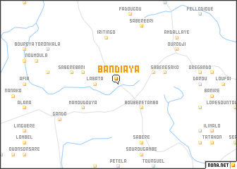
Bandiaya (Dinguiraye, Guinea)Bandiaya is a town in the Dinguiraye region of Guinea. An overview map of the region around Bandiaya is displayed below.
regional and 3d topo map of Bandiaya, Guinea ::
Bandiaya airports ::
The nearest airport is FAA - Faranah, located 181.2 km south of Bandiaya.
Other airports nearby include LEK - Labe (186.1 km west), KGG - Kedougou (201.3 km north west), Nearby towns ::
Labata (3.6km west) //
Boubéré Tamba (5.2km south east) //
Bantanko (5.8km east) //
Bao Fello (5.8km west) //
Mamoudouya (6.6km south west) //
Sabéré Bani (7.5km west) //
Iritingo (7.6km north) //
Sabéré Sako (7.5km east) //
[all distances 'as the bird flies' and approximate] 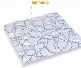 Places with similar names to Bandiaya, Guinea ::
// Bantayao (PH)
// Ban Dai Yao (TH)
// Ban Doi Yao (TH)
// Ban Du Yai (TH)
// Ban Na Ta Yoi (TH)
// Ban Na Ta Yoi (TH)
// Ban Ta Yoi (TH)
// Ban Ta Yua (TH)
// Benitaya (ES)
// Bondūyeh (IR)
Disclaimer :: Information on this page comes without warranty of any kind |
||
|
Where is Bandiaya? Elevation and coordinates ::
Latitude (lat): 11°40'0"N Longitude (lon): 10°37'0"W
Elevation (approx.): 505m (map arrows pan, magnifying glasses zoom) |
||
|
Visiting Bandiaya? Hotel/Accommodation ::
Book a hotel in Bandiaya Travel Guide ::
Buy a travel guide for Guinea rental cars ::
car rental offers GPS waypoint ::
download a GPX waypoint (PoI) of Bandiaya for your GPS receiver
|
||