|
search place name
|
||
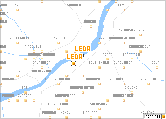
Léda (Guinea)Léda is a town in Guinea. An overview map of the region around Léda is displayed below.
regional and 3d topo map of Léda, Guinea ::
Léda airports ::
The nearest airport is BKO - Bamako Senou, located 148.3 km north east of Léda.
Other airports nearby include FAA - Faranah (268.1 km south west), Nearby towns ::
Léda (2.6km south west) //
Karifa (2.6km north west) //
Kounadibala (3.7km south) //
Diguibouroumala (4.1km north west) //
Bankokoro (4.1km north west) //
Bouémékéla (4.1km south east) //
Niamadalada (5.2km south west) //
Léfara (5.2km north east) //
Magana (5.4km east) //
Singada (5.8km south) //
Singuet (5.8km south) //
Komakolé (6.6km north west) //
Kokourouninda (6.6km south east) //
Babafarantou (7.4km south) //
Bankou (7.6km north) //
Téguérédalané (7.8km south west) //
Koboron (8.2km north east) //
Dialakoro (9.1km south west) //
[all distances 'as the bird flies' and approximate] 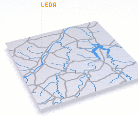 Places with similar names to Léda, Guinea ::
Disclaimer :: Information on this page comes without warranty of any kind |
||
|
Where is Léda? Elevation and coordinates ::
Latitude (lat): 11°30'0"N Longitude (lon): 8°49'0"W
Elevation (approx.): 338m (map arrows pan, magnifying glasses zoom) |
||
|
Visiting Léda? Hotel/Accommodation ::
Book a hotel in Léda Travel Guide ::
Buy a travel guide for Guinea rental cars ::
car rental offers GPS waypoint ::
download a GPX waypoint (PoI) of Léda for your GPS receiver
|
||