|
search place name
|
||
Simbé (Guékédou, Guinea)Simbé is a town in the Guékédou region of Guinea. An overview map of the region around Simbé is displayed below.
regional and 3d topo map of Simbé, Guinea ::

Simbé airports ::
The nearest airport is FAA - Faranah, located 165.9 km north west of Simbé.
Nearby towns ::
Koundoudou (2.6km north west) //
Bourè (3.1km east) //
Boukoussou (3.2km south) //
Médékoma (3.7km west) //
Fodou (4.0km south west) //
Yakadou (4.0km south west) //
Boundou (4.2km north west) //
Bambessou (4.6km east) //
Némian (5.1km south) //
Yaradou (5.3km north east) //
Kongola (5.4km north west) //
Sadou (5.8km west) //
Sassama (6.5km north) //
Séan (6.5km north) //
Saguebé (6.5km north west) //
Némian (6.6km north) //
Bomandou (6.6km south west) //
Kotoua (6.7km south east) //
Segbelazou (6.8km east) //
Bouadou (6.9km north east) //
Gouéra (7.0km east) //
Diavassama (7.2km south) //
Prèdou (7.3km north) //
Bandéra (7.6km south west) //
Nougouro (7.8km north east) //
Dakadou (7.9km north west) //
Lambou (7.9km south east) //
Auboulazou (8.2km east) //
Massadou (8.3km north) //
[all distances 'as the bird flies' and approximate] 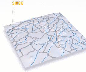 Places with similar names to Simbé, Guinea ::
Disclaimer :: Information on this page comes without warranty of any kind |
||
|
Where is Simbé? Elevation and coordinates ::
Latitude (lat): 8°47'32"N Longitude (lon): 9°55'27"W
Elevation (approx.): 603m (map arrows pan, magnifying glasses zoom) |
||
|
Visiting Simbé? Hotel/Accommodation ::
Book a hotel in Simbé Travel Guide ::
Buy a travel guide for Guinea rental cars ::
car rental offers GPS waypoint ::
download a GPX waypoint (PoI) of Simbé for your GPS receiver
|
||