|
search place name
|
||
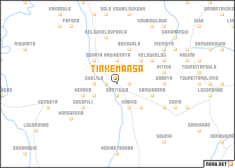
Tinké Mansa (Kouroussa, Guinea)Tinké Mansa is a town in the Kouroussa region of Guinea. An overview map of the region around Tinké Mansa is displayed below.
regional and 3d topo map of Tinké Mansa, Guinea ::
Tinké Mansa airports ::
The nearest airport is FAA - Faranah, located 114.8 km south of Tinké Mansa.
Other airports nearby include LEK - Labe (192.1 km west), KGG - Kedougou (248.0 km north west), Nearby towns ::
Mori Moussaya (1.8km west) //
Somaya (1.8km east) //
Santiguia (1.9km south) //
Guélila (3.6km west) //
Madihéraya (3.7km north) //
Boussira (4.1km south west) //
Kobiko (4.1km south east) //
Somaya (5.2km north west) //
Dabaya (5.2km north east) //
Wérénindo (5.2km south east) //
Bokodala (5.8km north) //
Fadougou (5.8km west) //
Hérako (5.8km west) //
Kandiabara (5.8km east) //
Dogo Fili (6.6km south west) //
Dongol (6.6km north east) //
Kélou Kélou (6.6km north east) //
Dabaya (7.3km east) //
Kélou Kélou Foula (7.6km north) //
Kendeya (7.5km east) //
Pitika (7.5km east) //
Hérémacono (8.2km north east) //
Kansado (8.2km south east) //
Mansaréna (9.2km south west) //
Niéniéya (9.2km north east) //
[all distances 'as the bird flies' and approximate] 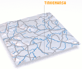 Places with similar names to Tinké Mansa, Guinea ::
// Town Commons (US)
Disclaimer :: Information on this page comes without warranty of any kind |
||
|
Where is Tinké Mansa? Elevation and coordinates ::
Latitude (lat): 11°3'0"N Longitude (lon): 10°33'0"W
Elevation (approx.): 392m (map arrows pan, magnifying glasses zoom) |
||
|
Visiting Tinké Mansa? Hotel/Accommodation ::
Book a hotel in Tinké Mansa Travel Guide ::
Buy a travel guide for Guinea rental cars ::
car rental offers GPS waypoint ::
download a GPX waypoint (PoI) of Tinké Mansa for your GPS receiver
|
||