|
search place name
|
||
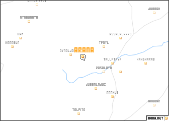
‘Arānā (Dimashq, Syria)‘Arānā is a town in the Dimashq region of Syria. An overview map of the region around ‘Arānā is displayed below.
regional and 3d topo map of ‘Arānā, Syria ::
‘Arānā airports ::
The nearest airport is DAM - Damascus Intl, located 48.8 km south of ‘Arānā.
Other airports nearby include BEY - Beirut Rafic Hariri Intl (77.7 km west), RPN - Rosh Pina Mahanaim I Ben Yaakov (116.8 km south west), OMF - Mafraq King Hussein (162.7 km south), HFA - Haifa (164.1 km south west), Nearby towns ::
‘Ayn al Jawzah (2.8km north west) //
Raʼs al ‘Ayn (4.4km south east) //
Ţfayl (4.7km north east) //
Tall Fţāyā (5.2km east) //
Jubb al ‘Ajūz (6.5km south) //
Al Ma‘mūrah (7.1km east) //
‘Assāl al Ward (8.3km north east) //
Rankūs (9.5km south east) //
[all distances 'as the bird flies' and approximate] 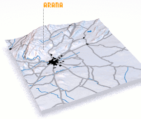 Places with similar names to ‘Arānā, Syria ::
Disclaimer :: Information on this page comes without warranty of any kind |
||
|
Where is ‘Arānā? Elevation and coordinates ::
Latitude (lat): 33°49'20"N Longitude (lon): 36°19'40"E
Elevation (approx.): 1730m (map arrows pan, magnifying glasses zoom) |
||
|
Visiting ‘Arānā? Hotel/Accommodation ::
Book a hotel in ‘Arānā Travel Guide ::
Buy a travel guide for Syria rental cars ::
car rental offers GPS waypoint ::
download a GPX waypoint (PoI) of ‘Arānā for your GPS receiver
|
||