|
search place name
|
||
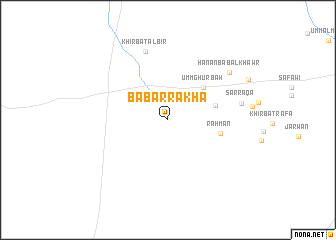
Bāb ar Rakhā (Al Ḩasakah, Syria)Bāb ar Rakhā is a town in the Al Ḩasakah region of Syria. An overview map of the region around Bāb ar Rakhā is displayed below.
regional and 3d topo map of Bāb ar Rakhā, Syria ::
Bāb ar Rakhā airports ::
The nearest airport is DEZ - Deire Zor Deir Zzor, located 82.4 km south of Bāb ar Rakhā.
Other airports nearby include DIY - Diyabakir Diyarbakir (208.2 km north), BAL - Batman (223.8 km north), PMS - Palmyra (243.1 km south west), Nearby towns ::
Umm Ghurbah (4.8km north east) //
Al Madīnah (4.6km east) //
Raḩmān (4.9km east) //
Khirbat al Biʼr (7.9km north) //
Sarrāqā (6.8km east) //
Ḩanān Bāb al Khawr (7.7km north east) //
[all distances 'as the bird flies' and approximate] 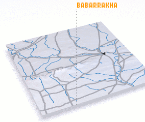 Places with similar names to Bāb ar Rakhā, Syria ::
Disclaimer :: Information on this page comes without warranty of any kind |
||
|
Where is Bāb ar Rakhā? Elevation and coordinates ::
Latitude (lat): 36°1'12"N Longitude (lon): 40°18'23"E
Elevation (approx.): 321m (map arrows pan, magnifying glasses zoom) |
||
|
Visiting Bāb ar Rakhā? Hotel/Accommodation ::
Book a hotel in Bāb ar Rakhā Travel Guide ::
Buy a travel guide for Syria rental cars ::
car rental offers GPS waypoint ::
download a GPX waypoint (PoI) of Bāb ar Rakhā for your GPS receiver
|
||