|
search place name
|
||
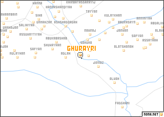
Ghurayrī (Al Ḩasakah, Syria)Ghurayrī is a town in the Al Ḩasakah region of Syria. An overview map of the region around Ghurayrī is displayed below.
regional and 3d topo map of Ghurayrī, Syria ::
Ghurayrī airports ::
The nearest airport is DEZ - Deire Zor Deir Zzor, located 96.5 km south west of Ghurayrī.
Other airports nearby include BAL - Batman (216.1 km north), DIY - Diyabakir Diyarbakir (216.5 km north), Nearby towns ::
Al Faras (1.4km north east) //
Majlūb (2.4km north east) //
Şamūmā (2.9km north) //
‘Adlah (3.0km west) //
Jirnāz (3.5km south east) //
Salmasā (4.4km north) //
Nawraj (5.8km north) //
Al Gharrah (5.4km north east) //
Bijdālah (6.4km north) //
Abū Kabā Shāb (6.0km north west) //
Shuwayḩān (5.9km west) //
Umm Ḩajarah (7.2km north east) //
Ash Shaddādah (8.0km north) //
‘Alwah (8.2km south east) //
Al Ḩulw (9.2km north) //
Al Amāyir (9.1km north east) //
Khirbat ‘Arrā (9.7km north east) //
Umm Ahzar (10.2km north west) //
[all distances 'as the bird flies' and approximate] 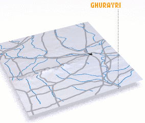 Places with similar names to Ghurayrī, Syria ::
Disclaimer :: Information on this page comes without warranty of any kind |
||
|
Where is Ghurayrī? Elevation and coordinates ::
Latitude (lat): 36°0'0"N Longitude (lon): 40°47'0"E
Elevation (approx.): 257m (map arrows pan, magnifying glasses zoom) |
||
|
Visiting Ghurayrī? Hotel/Accommodation ::
Book a hotel in Ghurayrī Travel Guide ::
Buy a travel guide for Syria rental cars ::
car rental offers GPS waypoint ::
download a GPX waypoint (PoI) of Ghurayrī for your GPS receiver
|
||