|
search place name
|
||
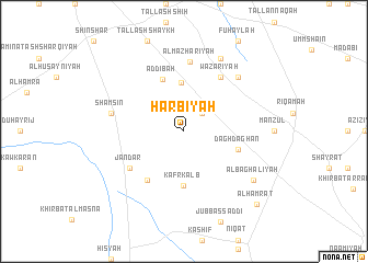
Ḩarbīyah (Ḩimş, Syria)Ḩarbīyah is a town in the Ḩimş region of Syria. An overview map of the region around Ḩarbīyah is displayed below.
regional and 3d topo map of Ḩarbīyah, Syria ::
Ḩarbīyah airports ::
The nearest airport is DAM - Damascus Intl, located 125.8 km south of Ḩarbīyah.
Other airports nearby include LTK - Latakia Bassel Al Assad Intl (126.1 km north west), PMS - Palmyra (137.8 km east), BEY - Beirut Rafic Hariri Intl (144.8 km south west), ALP - Aleppo Intl (188.3 km north), Nearby towns ::
‘Āliyāt (2.4km north east) //
An Nuzhah (4.9km north) //
Kafr Kalb (5.6km south) //
Ad Dībah (5.5km north) //
Daghdaghān (4.9km east) //
Khirbat al Qawāfi‘ (5.8km south west) //
Wazarīyah (6.3km north east) //
Jandar (5.9km south west) //
Al Maz̧harīyah (7.1km north) //
Shamsīn (6.4km west) //
Umm Dūlāb (7.2km north east) //
‘Awar (8.0km north) //
Al Baghālīyah (7.7km south east) //
Al Ḩamrāt (9.6km south east) //
[all distances 'as the bird flies' and approximate] 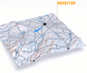
Disclaimer :: Information on this page comes without warranty of any kind |
||
|
Where is Ḩarbīyah? Elevation and coordinates ::
Latitude (lat): 34°31'0"N Longitude (lon): 36°49'0"E
Elevation (approx.): 763m (map arrows pan, magnifying glasses zoom) |
||
|
Visiting Ḩarbīyah? Hotel/Accommodation ::
Book a hotel in Ḩarbīyah Travel Guide ::
Buy a travel guide for Syria rental cars ::
car rental offers GPS waypoint ::
download a GPX waypoint (PoI) of Ḩarbīyah for your GPS receiver
|
||