|
search place name
|
||
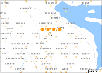
Ḩūbāshīyah (Ḩalab, Syria)Ḩūbāshīyah is a town in the Ḩalab region of Syria. An overview map of the region around Ḩūbāshīyah is displayed below.
regional and 3d topo map of Ḩūbāshīyah, Syria ::
Ḩūbāshīyah airports ::
The nearest airport is ALP - Aleppo Intl, located 29.9 km north west of Ḩūbāshīyah.
Other airports nearby include GZT - Gaziantep Oguzeli (107.0 km north), LTK - Latakia Bassel Al Assad Intl (150.5 km south west), PMS - Palmyra (176.8 km south east), Nearby towns ::
‘Annāzah (1.5km east) //
Mas‘ūdīyah (1.5km west) //
Ţāḩ (2.4km south west) //
Abū Aachté (3.5km south west) //
Qabtīn (3.5km north east) //
Kharābrash (4.0km north) //
‘Aqrabah (4.8km south west) //
Burj ar Rummān (5.6km south) //
Zaymān (4.5km west) //
Madīnah (4.5km west) //
‘Umayrīyah (5.8km south) //
‘Aqrabūz (5.8km north) //
Bakkūrah (6.3km south east) //
Ḩumayrah (5.8km south east) //
Abū Darīkhah (6.3km north east) //
Jafrah (7.4km south) //
Junayd (6.0km east) //
Abū Jurayn (7.4km north) //
Burj Iḩsān aḑ Ḑāhir (7.6km south) //
Jalghūm (7.1km north east) //
Fejdâne (8.7km south east) //
Abū ‘Abdah (8.7km south west) //
[all distances 'as the bird flies' and approximate] 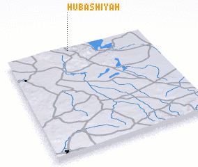 Places with similar names to Ḩūbāshīyah, Syria ::
// Ḩubayshīyah (LB)
Disclaimer :: Information on this page comes without warranty of any kind |
||
|
Where is Ḩūbāshīyah? Elevation and coordinates ::
Latitude (lat): 35°59'0"N Longitude (lon): 37°27'0"E
Elevation (approx.): 407m (map arrows pan, magnifying glasses zoom) |
||
|
Visiting Ḩūbāshīyah? Hotel/Accommodation ::
Book a hotel in Ḩūbāshīyah Travel Guide ::
Buy a travel guide for Syria rental cars ::
car rental offers GPS waypoint ::
download a GPX waypoint (PoI) of Ḩūbāshīyah for your GPS receiver
|
||