|
search place name
|
||
Jarmakīyah (Ḩalab, Syria)Jarmakīyah is a town in the Ḩalab region of Syria. An overview map of the region around Jarmakīyah is displayed below.
regional and 3d topo map of Jarmakīyah, Syria ::

Jarmakīyah airports ::
The nearest airport is ALP - Aleppo Intl, located 41.9 km north west of Jarmakīyah.
Other airports nearby include GZT - Gaziantep Oguzeli (119.9 km north), LTK - Latakia Bassel Al Assad Intl (148.3 km west), PMS - Palmyra (163.9 km south east), Nearby towns ::
Jūkhah (1.5km east) //
Ḩuwayr (2.4km south west) //
Umm Işţabl (2.4km south west) //
Rasm al ‘Aysh (2.4km south east) //
Rasm Aamich (3.0km west) //
Jubb al Intāsh (3.5km north west) //
Shawkah (3.5km south west) //
Min‘āyā (3.5km north east) //
Rasm Ḩamad (4.8km south east) //
Abū Rhatté (4.5km west) //
Ḩabs (5.6km south) //
Şuwayyān (4.9km west) //
Fejdâne (5.8km north) //
Al Kara‘ (5.8km south) //
Ruwayhib (4.9km east) //
Jafrah (6.3km north west) //
Suḩūr (5.8km north west) //
Bakkūrah (7.4km north) //
Ḩarbaţīyah (7.4km south) //
Ar Rāhib (6.3km east) //
Burj Iḩsān aḑ Ḑāhir (7.2km north west) //
Al Burj (7.2km north east) //
Al Ḩawāz (7.2km south east) //
Burj ar Rummān (8.0km north) //
Tall ‘Anbar (7.1km north west) //
Jubb at Tīnah (7.1km south west) //
Jubb Qāsim (8.0km south) //
‘Umayrīyah (8.7km north west) //
‘Abdat Bīshah (8.7km south west) //
[all distances 'as the bird flies' and approximate] 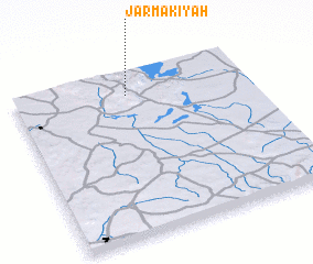 Places with similar names to Jarmakīyah, Syria :: Disclaimer :: Information on this page comes without warranty of any kind |
||
|
Where is Jarmakīyah? Elevation and coordinates ::
Latitude (lat): 35°52'0"N Longitude (lon): 37°29'0"E
Elevation (approx.): 555m (map arrows pan, magnifying glasses zoom) |
||
|
Visiting Jarmakīyah? Hotel/Accommodation ::
Book a hotel in Jarmakīyah Travel Guide ::
Buy a travel guide for Syria rental cars ::
car rental offers GPS waypoint ::
download a GPX waypoint (PoI) of Jarmakīyah for your GPS receiver
|
||