|
search place name
|
||
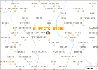
Khirbat al Aţrāh (Ḩalab, Syria)Khirbat al Aţrāh is a town in the Ḩalab region of Syria. An overview map of the region around Khirbat al Aţrāh is displayed below.
regional and 3d topo map of Khirbat al Aţrāh, Syria ::
Khirbat al Aţrāh airports ::
The nearest airport is ALP - Aleppo Intl, located 27.5 km south east of Khirbat al Aţrāh.
Other airports nearby include GZT - Gaziantep Oguzeli (81.3 km north east), LTK - Latakia Bassel Al Assad Intl (139.4 km south west), ADA - Adana Incirlik Ab (157.8 km north west), ADA - Adana (168.4 km north west), Nearby towns ::
Tannūrah (1.9km south) //
Naghāwilah (2.4km north east) //
Zūq al Kabīr (3.0km west) //
Nubl (3.7km north) //
Ash Shaykh ‘Aqīl (3.5km south west) //
Al ‘Uraymah (4.0km south) //
Jubb al Khamīs (5.6km north) //
Al Qāʼir (6.3km north west) //
Burj al Qās (5.8km north west) //
Kbāshīn (6.0km west) //
Biyānūn (6.0km east) //
Kafr Bissīn (7.6km south) //
‘Anadān (7.1km south east) //
Māyir (7.1km north east) //
Qabţān al Jabal (8.0km south) //
Yāqiz̧ al ‘Adas (8.0km south) //
Kiffīn (8.7km north east) //
[all distances 'as the bird flies' and approximate] 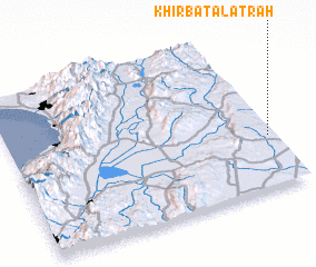 Places with similar names to Khirbat al Aţrāh, Syria :: Disclaimer :: Information on this page comes without warranty of any kind |
||
|
Where is Khirbat al Aţrāh? Elevation and coordinates ::
Latitude (lat): 36°20'0"N Longitude (lon): 36°59'0"E
Elevation (approx.): 502m (map arrows pan, magnifying glasses zoom) |
||
|
Visiting Khirbat al Aţrāh? Hotel/Accommodation ::
Book a hotel in Khirbat al Aţrāh Travel Guide ::
Buy a travel guide for Syria rental cars ::
car rental offers GPS waypoint ::
download a GPX waypoint (PoI) of Khirbat al Aţrāh for your GPS receiver
|
||