|
search place name
|
||
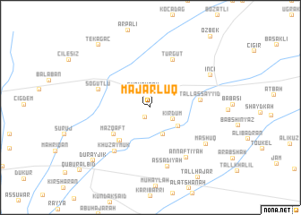
Majarlūq (Al Ḩasakah, Syria)Majarlūq is a town in the Al Ḩasakah region of Syria. An overview map of the region around Majarlūq is displayed below.
regional and 3d topo map of Majarlūq, Syria ::
Majarlūq airports ::
The nearest airport is BAL - Batman, located 102.7 km north west of Majarlūq.
Other airports nearby include DIY - Diyabakir Diyarbakir (153.9 km north west), VAN - Van (214.0 km north east), DEZ - Deire Zor Deir Zzor (239.5 km south west), Nearby towns ::
Tall Khātūn (1.3km south west) //
Gürkaynak (2.2km north) //
Kīrdum (2.7km south east) //
((Amīr Dāḩim)) (3.6km south) //
‘Uţayljā (3.7km south east) //
Shalhūmīyah (5.1km south west) //
Qubayq (5.2km south west) //
((Mazqaft)) (5.0km south west) //
Tall as Sayyid (5.1km east) //
Turgut (6.3km north) //
Söğütlü (5.6km north west) //
Khuzaymūk (6.5km south west) //
As Sa‘dīyah (7.6km south) //
An Nafţīyah (7.2km south east) //
Ma‘shūq (7.2km south east) //
İnci (7.2km north east) //
Durayjīk (8.7km south west) //
Tekağaç (9.3km north west) //
Tall Ḩajar (9.9km south east) //
Özbek (10.7km north east) //
Qubūr al Bīḑ (10.6km south west) //
[all distances 'as the bird flies' and approximate] 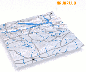 Places with similar names to Majarlūq, Syria :: Disclaimer :: Information on this page comes without warranty of any kind |
||
|
Where is Majarlūq? Elevation and coordinates ::
Latitude (lat): 37°5'48"N Longitude (lon): 41°37'29"E
Elevation (approx.): 504m (map arrows pan, magnifying glasses zoom) |
||
|
Visiting Majarlūq? Hotel/Accommodation ::
Book a hotel in Majarlūq Travel Guide ::
Buy a travel guide for Syria rental cars ::
car rental offers GPS waypoint ::
download a GPX waypoint (PoI) of Majarlūq for your GPS receiver
|
||