|
search place name
|
||
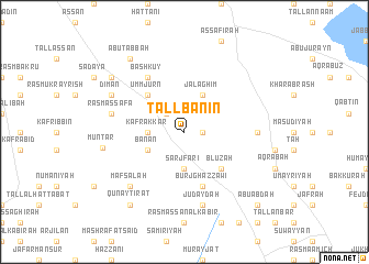
Tall Banīn (Ḩalab, Syria)Tall Banīn is a town in the Ḩalab region of Syria. An overview map of the region around Tall Banīn is displayed below.
regional and 3d topo map of Tall Banīn, Syria ::
Tall Banīn airports ::
The nearest airport is ALP - Aleppo Intl, located 24.0 km north west of Tall Banīn.
Other airports nearby include GZT - Gaziantep Oguzeli (107.7 km north), LTK - Latakia Bassel Al Assad Intl (141.0 km south west), PMS - Palmyra (181.8 km south east), ADA - Adana Incirlik Ab (204.9 km north west), Nearby towns ::
Ja‘ārah (1.5km east) //
Tall Hū (1.5km east) //
Zirā‘ah (2.4km north west) //
Sarj Fāri‘ (3.7km south) //
Kafr ‘Akkār (3.0km west) //
Banān (3.5km south west) //
Jalāghīm (4.0km north) //
Blūzah (4.8km south east) //
Umm Jurn (4.8km north west) //
Burj Ghazzāwī (5.8km south) //
Bāsh Kūy (6.3km north west) //
Madīnah (6.0km east) //
Zaymān (6.0km east) //
Judaydah (7.6km south) //
Rasm aş Şafā (6.3km west) //
Mafşalah (7.2km south west) //
Dīmān (7.1km north west) //
Munţār (6.9km west) //
Qunayţirāt (8.7km south west) //
Qāshūţah (8.2km north west) //
Abū Ţabbah (8.7km north west) //
Abū ‘Abdah (9.5km south east) //
[all distances 'as the bird flies' and approximate] 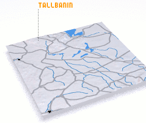 Places with similar names to Tall Banīn, Syria ::
// Talbonan (BF)
Disclaimer :: Information on this page comes without warranty of any kind |
||
|
Where is Tall Banīn? Elevation and coordinates ::
Latitude (lat): 35°59'0"N Longitude (lon): 37°20'0"E
Elevation (approx.): 515m (map arrows pan, magnifying glasses zoom) |
||
|
Visiting Tall Banīn? Hotel/Accommodation ::
Book a hotel in Tall Banīn Travel Guide ::
Buy a travel guide for Syria rental cars ::
car rental offers GPS waypoint ::
download a GPX waypoint (PoI) of Tall Banīn for your GPS receiver
|
||