|
search place name
|
||
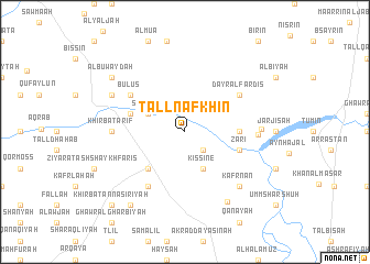
Tall Nafkhīn (Ḩamāh, Syria)Tall Nafkhīn is a town in the Ḩamāh region of Syria. An overview map of the region around Tall Nafkhīn is displayed below.
regional and 3d topo map of Tall Nafkhīn, Syria ::
Tall Nafkhīn airports ::
The nearest airport is LTK - Latakia Bassel Al Assad Intl, located 78.8 km north west of Tall Nafkhīn.
Other airports nearby include ALP - Aleppo Intl (149.5 km north), BEY - Beirut Rafic Hariri Intl (160.2 km south west), PMS - Palmyra (162.7 km east), DAM - Damascus Intl (169.1 km south), Nearby towns ::
Ḩarb Nafsah (2.4km south east) //
Kissine (4.0km south) //
Sam‘alīl (3.6km north west) //
Ţallaf (4.8km south west) //
Ḩurr Binafsah (4.6km east) //
Zāri‘ (4.9km east) //
Jidrīn (4.9km west) //
Mūsá al Ḩūlah (4.9km west) //
Burj Qâayé (6.3km south west) //
Dayr al Fardīs (5.9km north east) //
Khirbat al Qaşr (5.9km north west) //
Būlus (5.9km north west) //
Khirbat ‘Ārif (6.1km west) //
Khirbat Buzliyā (6.1km east) //
Ḩurbinafsuh (6.3km east) //
Kafr Nān (7.2km south east) //
Kafr Qadaḩ (7.1km north west) //
Tasnīn (7.9km south east) //
Dār as Salamlam (8.7km south west) //
Al Buwayḑah (8.2km north west) //
Khirbat an Nāşirīyah (9.6km south west) //
[all distances 'as the bird flies' and approximate] 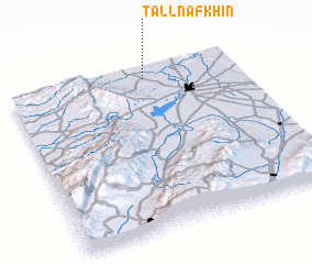 Places with similar names to Tall Nafkhīn, Syria :: Disclaimer :: Information on this page comes without warranty of any kind |
||
|
Where is Tall Nafkhīn? Elevation and coordinates ::
Latitude (lat): 34°56'0"N Longitude (lon): 36°36'0"E
Elevation (approx.): 363m (map arrows pan, magnifying glasses zoom) |
||
|
Visiting Tall Nafkhīn? Hotel/Accommodation ::
Book a hotel in Tall Nafkhīn Travel Guide ::
Buy a travel guide for Syria rental cars ::
car rental offers GPS waypoint ::
download a GPX waypoint (PoI) of Tall Nafkhīn for your GPS receiver
|
||