|
search place name
|
||
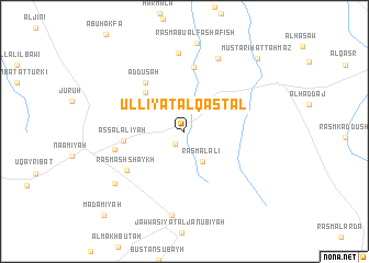
‘Ullīyat al Qasţal (Dar‘ā, Syria)‘Ullīyat al Qasţal is a town in the Dar‘ā region of Syria. An overview map of the region around ‘Ullīyat al Qasţal is displayed below.
regional and 3d topo map of ‘Ullīyat al Qasţal, Syria ::
‘Ullīyat al Qasţal airports ::
The nearest airport is PMS - Palmyra, located 87.9 km south east of ‘Ullīyat al Qasţal.
Other airports nearby include ALP - Aleppo Intl (127.3 km north), LTK - Latakia Bassel Al Assad Intl (153.4 km west), GZT - Gaziantep Oguzeli (208.3 km north), DAM - Damascus Intl (209.1 km south west), Nearby towns ::
Jubb az Za‘tar (1.4km south west) //
Rasm al ‘Ālī (3.4km south east) //
Ruwaydā (5.2km north west) //
As Salālīyah (5.1km west) //
Ad Dūsah (5.9km north west) //
Judaydah (6.5km north) //
Rasm ash Shaykh (6.3km south west) //
Jubb al Us̄d (6.1km west) //
Abū Kahf (8.0km north) //
Mubaţţan Ţahmāz (7.9km north) //
Jawwāşīyat ash Shamālīyah (8.6km south) //
Al Mushayrifah (7.8km south west) //
Mustarīḩat Ţahmāz (9.6km north east) //
Ma‘ḑamīyah (10.8km south west) //
[all distances 'as the bird flies' and approximate] 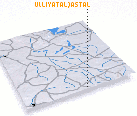 Places with similar names to ‘Ullīyat al Qasţal, Syria :: Disclaimer :: Information on this page comes without warranty of any kind |
||
|
Where is ‘Ullīyat al Qasţal? Elevation and coordinates ::
Latitude (lat): 35°4'20"N Longitude (lon): 37°35'10"E
Elevation (approx.): 630m (map arrows pan, magnifying glasses zoom) |
||
|
Visiting ‘Ullīyat al Qasţal? Hotel/Accommodation ::
Book a hotel in ‘Ullīyat al Qasţal Travel Guide ::
Buy a travel guide for Syria rental cars ::
car rental offers GPS waypoint ::
download a GPX waypoint (PoI) of ‘Ullīyat al Qasţal for your GPS receiver
|
||