|
search place name
|
||
Khalīl (Oman)Khalīl is a town in Oman. An overview map of the region around Khalīl is displayed below.
regional and 3d topo map of Khalīl, Oman ::

Khalīl airports ::
The nearest airport is MCT - Muscat Seeb Intl, located 109.2 km east of Khalīl.
Other airports nearby include FJR - Fujeirah Fujairah Intl (164.8 km north west), RKT - Ras Al Khaimah Intl (232.5 km north west), SHJ - Sharjah Intl (237.5 km north west), DXB - Dubai Intl (244.1 km north west), Nearby towns ::
Al Muhtariq (0.4km east) //
Al Qārah (1.1km east) //
‘Uwaydāt (1.6km east) //
Ghalīl al Hanādīs (1.7km west) //
Ḩajīrah (1.9km north west) //
Sūr Yāl Bū Rashīd (2.1km south) //
Ghalīl al Masā‘īd (2.3km north west) //
Al Budāyah (3.2km west) //
Ḑiyān (3.5km east) //
Ḑiyān Yāl Bū Sa‘īd (3.9km south east) //
Ḑiyān al Buwārah (3.9km south east) //
Z̧iyān (5.4km east) //
Al ‘Abbāsah (5.4km west) //
Khaḑrāʼ Yāl Bū Rashīd (7.3km east) //
Aş Şuraymah (7.9km east) //
Khaḑrāʼ (8.6km south east) //
[all distances 'as the bird flies' and approximate] 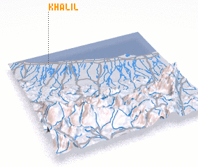 Places with similar names to Khalīl, Oman ::
Disclaimer :: Information on this page comes without warranty of any kind |
||
|
Where is Khalīl? Elevation and coordinates ::
Latitude (lat): 23°54'0"N Longitude (lon): 57°16'0"E
Elevation (approx.): 6m (map arrows pan, magnifying glasses zoom) |
||
|
Visiting Khalīl? Hotel/Accommodation ::
Book a hotel in Khalīl Travel Guide ::
Buy a travel guide for Oman rental cars ::
car rental offers GPS waypoint ::
download a GPX waypoint (PoI) of Khalīl for your GPS receiver
|
||