|
search place name
|
||
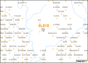
Alaya (Gongola, Nigeria)Alaya is a town in the Gongola region of Nigeria. An overview map of the region around Alaya is displayed below.
regional and 3d topo map of Alaya, Nigeria ::
Alaya airports ::
The nearest airport is IBA - Ibadan, located 35.9 km south west of Alaya.
Other airports nearby include ILR - Ilorin (98.4 km north), AKR - Akure (127.7 km east), LOS - Lagos Murtala Muhammed (149.1 km south west), BNI - Benin (209.9 km south east), Nearby towns ::
Olupona (1.8km west) //
Adenlere (4.1km south east) //
Iwo (4.1km north west) //
Ile Igbo (5.8km east) //
Oloba (7.6km west) //
Oguro (7.6km west) //
Eleke (7.8km north east) //
Dagbolu (7.8km north east) //
Igbotente (8.3km south east) //
Afonrinwo (8.2km south east) //
Muiwa (8.2km south east) //
Oba (9.2km south east) //
Balogun (9.2km south west) //
Olota (9.2km south east) //
Babalawo (9.2km south east) //
Elesin (10.4km south east) //
Akinbami (10.4km south east) //
Telemu (10.4km north east) //
[all distances 'as the bird flies' and approximate] 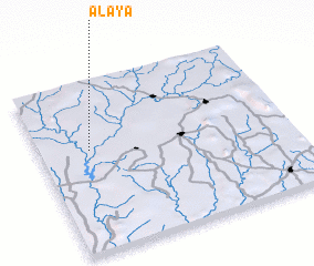 Places with similar names to Alaya, Nigeria ::
Disclaimer :: Information on this page comes without warranty of any kind |
||
|
Where is Alaya? Elevation and coordinates ::
Latitude (lat): 7°36'0"N Longitude (lon): 4°12'0"E
Elevation (approx.): 253m (map arrows pan, magnifying glasses zoom) |
||
|
Visiting Alaya? Hotel/Accommodation ::
Book a hotel in Alaya Travel Guide ::
Buy a travel guide for Nigeria rental cars ::
car rental offers GPS waypoint ::
download a GPX waypoint (PoI) of Alaya for your GPS receiver
|
||