|
search place name
|
||
Aluntse (Gongola, Nigeria)Aluntse is a town in the Gongola region of Nigeria. An overview map of the region around Aluntse is displayed below.
regional and 3d topo map of Aluntse, Nigeria ::

Aluntse airports ::
The nearest airport is MDI - Makurdi, located 63.2 km north west of Aluntse.
Other airports nearby include ENU - Enugu (166.7 km south west), BPC - Bamenda (187.8 km south east), BFX - Bafoussam (245.6 km south east), ABV - Abuja Nnamdi Azikiwe Intl (268.0 km north west), Nearby towns ::
Agba (0.0km north) //
Ivavgbe (0.0km north) //
Ahen (0.0km north) //
Ubo (0.0km north) //
Bumbul (0.0km north) //
Gbayam (0.0km north) //
Nyikyaa (1.8km west) //
Utsor (1.8km west) //
Kpor (1.8km west) //
Amengel (1.9km south) //
Atim (2.6km north east) //
Jabi (2.6km north east) //
Yankya (2.6km north east) //
Buabunde (3.7km south) //
Wannjughul (3.7km west) //
Wuu (3.7km west) //
Javela (3.7km east) //
Seluga (3.7km east) //
Valave (3.7km east) //
Ise (3.7km east) //
Ihembe (3.7km east) //
Tse Dudu (4.1km north west) //
Nyikyaa (4.1km south west) //
Megel (4.1km south east) //
Zuzu (4.1km north east) //
Asha (4.1km north east) //
Iorshe (4.1km south east) //
Tse Dum (5.2km north east) //
Batsa (5.2km north east) //
[all distances 'as the bird flies' and approximate] 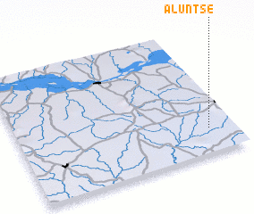 Places with similar names to Aluntse, Nigeria ::
Disclaimer :: Information on this page comes without warranty of any kind |
||
|
Where is Aluntse? Elevation and coordinates ::
Latitude (lat): 7°12'0"N Longitude (lon): 8°53'0"E
Elevation (approx.): 122m (map arrows pan, magnifying glasses zoom) |
||
|
Visiting Aluntse? Hotel/Accommodation ::
Book a hotel in Aluntse Travel Guide ::
Buy a travel guide for Nigeria rental cars ::
car rental offers GPS waypoint ::
download a GPX waypoint (PoI) of Aluntse for your GPS receiver
|
||