|
search place name
|
||
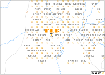
Anwuna (Gongola, Nigeria)Anwuna is a town in the Gongola region of Nigeria. An overview map of the region around Anwuna is displayed below.
regional and 3d topo map of Anwuna, Nigeria ::
Anwuna airports ::
The nearest airport is MDI - Makurdi, located 68.7 km north of Anwuna.
Other airports nearby include ENU - Enugu (131.5 km south west), BPC - Bamenda (205.7 km south east), ABV - Abuja Nnamdi Azikiwe Intl (257.7 km north west), BFX - Bafoussam (260.1 km south east), Nearby towns ::
Angyu (0.0km north) //
Anule (0.0km north) //
Meelem (0.0km north) //
Nenge (0.0km north) //
Anvogh (0.0km north) //
Aokyor (1.8km west) //
Akuve (1.8km west) //
Mbasema (1.9km south) //
Jirgba (1.9km north) //
Kugbe (1.9km north) //
Mzoueh (1.9km north) //
Ayakpa (1.9km north) //
Masev (1.8km east) //
Shimem (1.9km north) //
Akaa (1.8km east) //
Mtan (2.6km south west) //
Ayev (2.6km south west) //
Acheche (2.6km north west) //
Gumula (2.6km north west) //
Sakula (2.6km north west) //
Yumalu (2.6km north east) //
Ime (2.6km north east) //
Uma Swem (3.7km west) //
Tse Hemba Gbantule (3.7km west) //
Wabe (3.7km south) //
Tyondun (3.7km south) //
Toho (3.7km north) //
Torto (3.7km north) //
Mbayilan Bur (3.7km east) //
[all distances 'as the bird flies' and approximate] 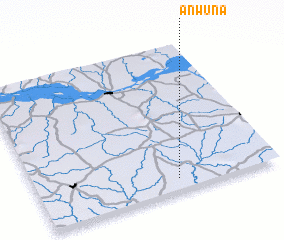 Places with similar names to Anwuna, Nigeria ::
Disclaimer :: Information on this page comes without warranty of any kind |
||
|
Where is Anwuna? Elevation and coordinates ::
Latitude (lat): 7°5'0"N Longitude (lon): 8°35'0"E
Elevation (approx.): 109m (map arrows pan, magnifying glasses zoom) |
||
|
Visiting Anwuna? Hotel/Accommodation ::
Book a hotel in Anwuna Travel Guide ::
Buy a travel guide for Nigeria rental cars ::
car rental offers GPS waypoint ::
download a GPX waypoint (PoI) of Anwuna for your GPS receiver
|
||