|
search place name
|
||
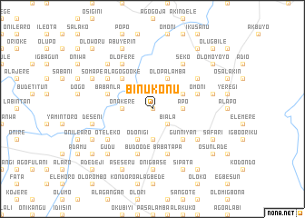
Binukonu (Gongola, Nigeria)Binukonu is a town in the Gongola region of Nigeria. An overview map of the region around Binukonu is displayed below.
regional and 3d topo map of Binukonu, Nigeria ::
Binukonu airports ::
The nearest airport is ILR - Ilorin, located 34.0 km south of Binukonu.
Other airports nearby include IBA - Ibadan (158.6 km south), AKR - Akure (192.1 km south east), Nearby towns ::
Balogun Ajikobi (0.0km north) //
Biala (2.6km south east) //
Apo (3.7km east) //
Alateko (3.7km south) //
Onakere (3.7km west) //
Adejemi Oke (4.1km north east) //
Odonigi (4.1km south west) //
Olopalamba (4.1km north east) //
Gunniyan (5.2km south east) //
Alagogo Oke (5.2km north west) //
Alagogo Weru (5.2km north west) //
Alafara (5.2km north west) //
Omoni (5.8km east) //
Baba Tapa (5.9km south) //
Babanla (5.8km west) //
Budo Ode (5.9km south) //
Amao (6.6km south east) //
Olobi (6.7km north east) //
Seko (6.7km north east) //
Olofere (6.7km north west) //
Oteleko (6.6km south west) //
Jeunkunnu (6.6km north east) //
Alarode (6.6km north west) //
Igboroko (6.6km north west) //
Arobadi (7.4km south) //
Onigbase (7.4km south) //
Bangbose (7.4km south) //
Deseni (7.6km west) //
Apodu (7.6km east) //
[all distances 'as the bird flies' and approximate] 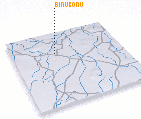 Places with similar names to Binukonu, Nigeria ::
Disclaimer :: Information on this page comes without warranty of any kind |
||
|
Where is Binukonu? Elevation and coordinates ::
Latitude (lat): 8°44'0"N Longitude (lon): 4°24'0"E
Elevation (approx.): 325m (map arrows pan, magnifying glasses zoom) |
||
|
Visiting Binukonu? Hotel/Accommodation ::
Book a hotel in Binukonu Travel Guide ::
Buy a travel guide for Nigeria rental cars ::
car rental offers GPS waypoint ::
download a GPX waypoint (PoI) of Binukonu for your GPS receiver
|
||