|
search place name
|
||
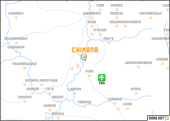
Chimana (Kaduna, Nigeria)Chimana is a town in the Kaduna region of Nigeria. An overview map of the region around Chimana is displayed below.
regional and 3d topo map of Chimana, Nigeria ::
Chimana airports ::
The nearest airport is KAD - Kaduna, located 5.3 km south east of Chimana.
Other airports nearby include ZAR - Zaria (62.0 km north east), MXJ - Minna New (149.7 km south west), QUS - Gusau (171.9 km north), ABV - Abuja Nnamdi Azikiwe Intl (190.7 km south), Nearby towns ::
Tudun Wada (1.5km north) //
Ungwan Magawata (1.7km south west) //
Tungan Madaki (2.0km south west) //
Ifira (3.4km south) //
Munboude (3.4km south west) //
Kankurmi (6.0km north) //
Pauta (6.4km north east) //
Kitikuri (6.7km north east) //
Ligarma (7.5km south) //
Dega (7.8km north) //
Kuchiwa (10.3km north east) //
Zato (10.5km south west) //
Ungwan Sarkin Baka (11.6km north east) //
[all distances 'as the bird flies' and approximate] 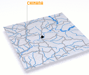 Places with similar names to Chimana, Nigeria ::
Disclaimer :: Information on this page comes without warranty of any kind |
||
|
Where is Chimana? Elevation and coordinates ::
Latitude (lat): 10°43'52"N Longitude (lon): 7°17'13"E
Elevation (approx.): 596m (map arrows pan, magnifying glasses zoom) |
||
|
Visiting Chimana? Hotel/Accommodation ::
Book a hotel in Chimana Travel Guide ::
Buy a travel guide for Nigeria rental cars ::
car rental offers GPS waypoint ::
download a GPX waypoint (PoI) of Chimana for your GPS receiver
|
||