|
search place name
|
||
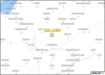
Dalijam (Gongola, Nigeria)Dalijam is a town in the Gongola region of Nigeria. An overview map of the region around Dalijam is displayed below.
regional and 3d topo map of Dalijam, Nigeria ::
Dalijam airports ::
The nearest airport is SKO - Sokoto Sadiq Abubakar Iii Intl, located 148.9 km east of Dalijam.
Other airports nearby include NIM - Niamey Diori Hamani (205.2 km north west), Nearby towns ::
Kure Baba (3.7km south) //
Salwe (4.1km north west) //
Jafegi (5.4km east) //
Kobio (5.8km north) //
Amugoro (6.6km north east) //
Ungwan Goga (6.6km north east) //
Kure Marina (6.6km south west) //
Maisi (7.4km south) //
Gari Aji (7.6km north) //
Falde (8.1km south west) //
Ganza (9.1km north east) //
Ungwan Shika (9.1km south east) //
Kaingiwa (9.9km south west) //
[all distances 'as the bird flies' and approximate] 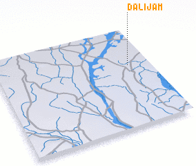 Places with similar names to Dalijam, Nigeria ::
// Talājīm (IR)
// Tall Jimah (SY)
// Dalijam (NG)
// Dalijam (NG)
// Dalijam (NG)
// Tall Jum‘ah (SY)
// Tall-e ‘Ajam (IR)
// Daljam (CS)
Disclaimer :: Information on this page comes without warranty of any kind |
||
|
Where is Dalijam? Elevation and coordinates ::
Latitude (lat): 12°38'0"N Longitude (lon): 3°52'0"E
Elevation (approx.): 228m (map arrows pan, magnifying glasses zoom) |
||
|
Visiting Dalijam? Hotel/Accommodation ::
Book a hotel in Dalijam Travel Guide ::
Buy a travel guide for Nigeria rental cars ::
car rental offers GPS waypoint ::
download a GPX waypoint (PoI) of Dalijam for your GPS receiver
|
||