|
search place name
|
||
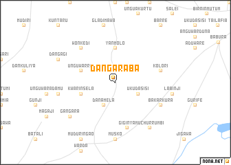
Dangaraba (Gongola, Nigeria)Dangaraba is a town in the Gongola region of Nigeria. An overview map of the region around Dangaraba is displayed below.
regional and 3d topo map of Dangaraba, Nigeria ::
Dangaraba airports ::
The nearest airport is KAN - Kano Mallam Aminu Intl, located 82.8 km south west of Dangaraba.
Other airports nearby include ZND - Zinder (118.2 km north), MFG - Maradi (207.7 km north west), ZAR - Zaria (217.6 km south west), Nearby towns ::
Uku Dasisi (4.1km south east) //
Dan Amela (4.1km south west) //
Yan Molo (5.6km north) //
Unguwar Rai (5.7km west) //
Kwarinsela (5.7km west) //
Kolori (7.5km east) //
Giginya (7.6km south) //
Wonkedi (7.8km north west) //
Bakarkura (8.1km south east) //
Gangara (9.1km south west) //
Muchurrumbi (9.2km south east) //
[all distances 'as the bird flies' and approximate] 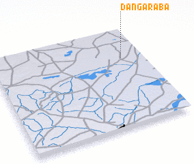 Places with similar names to Dangaraba, Nigeria ::
// Tunca Arriba (CL)
// Tungrub (SD)
// Dongoro Ba (GM)
// Dan Garba (NG)
// Tienkoroba (ML)
// Tangori 1 (PG)
// Dungarubba (AU)
Disclaimer :: Information on this page comes without warranty of any kind |
||
|
Where is Dangaraba? Elevation and coordinates ::
Latitude (lat): 12°43'0"N Longitude (lon): 8°52'0"E
Elevation (approx.): 391m (map arrows pan, magnifying glasses zoom) |
||
|
Visiting Dangaraba? Hotel/Accommodation ::
Book a hotel in Dangaraba Travel Guide ::
Buy a travel guide for Nigeria rental cars ::
car rental offers GPS waypoint ::
download a GPX waypoint (PoI) of Dangaraba for your GPS receiver
|
||