|
search place name
|
||
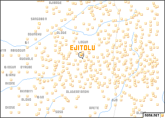
Ejitolu (Oyo, Nigeria)Ejitolu is a town in the Oyo region of Nigeria. An overview map of the region around Ejitolu is displayed below.
regional and 3d topo map of Ejitolu, Nigeria ::
Ejitolu airports ::
The nearest airport is IBA - Ibadan, located 26.2 km south east of Ejitolu.
Other airports nearby include ILR - Ilorin (120.8 km north east), LOS - Lagos Murtala Muhammed (123.1 km south west), AKR - Akure (164.3 km east), COO - Cotonou Cadjehoun (209.2 km south west), Nearby towns ::
Epo (0.5km south east) //
Elerin (0.8km south west) //
Gbesinra (1.0km north east) //
Ayantokun (1.2km east) //
Asani (1.4km south east) //
Latinwo (1.5km north) //
Fehintoke (1.5km south west) //
Adedeji (1.6km south east) //
Abese (1.7km west) //
Olaoshun (1.7km north west) //
Oloya (2.0km north) //
Aba Isale (2.0km east) //
Alagba (2.0km north east) //
Adeniji (2.1km south) //
Okelekan (2.3km north) //
Keriki (2.3km north east) //
Timi (2.4km south east) //
Idi Osan (2.4km south west) //
Ababu (2.5km south west) //
Idioke (2.5km east) //
Ajala (2.6km north west) //
Aba Odo (2.6km south east) //
Kanike (2.7km north) //
Okegbemi (2.7km east) //
Logun (2.7km north) //
Mele (2.9km south) //
Kinkinyiun (2.9km south) //
Alapo (3.0km north) //
Olorunwe (3.1km west) //
[all distances 'as the bird flies' and approximate] 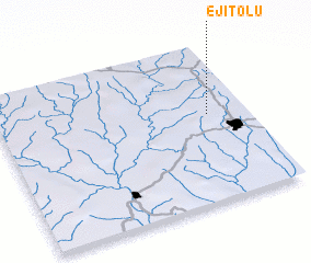 Places with similar names to Ejitolu, Nigeria ::
// Ejutla (MX)
Disclaimer :: Information on this page comes without warranty of any kind |
||
|
Where is Ejitolu? Elevation and coordinates ::
Latitude (lat): 7°33'34"N Longitude (lon): 3°50'47"E
Elevation (approx.): 288m (map arrows pan, magnifying glasses zoom) |
||
|
Visiting Ejitolu? Hotel/Accommodation ::
Book a hotel in Ejitolu Travel Guide ::
Buy a travel guide for Nigeria rental cars ::
car rental offers GPS waypoint ::
download a GPX waypoint (PoI) of Ejitolu for your GPS receiver
|
||