|
search place name
|
||
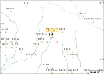
Ekeje (Gongola, Nigeria)Ekeje is a town in the Gongola region of Nigeria. An overview map of the region around Ekeje is displayed below.
regional and 3d topo map of Ekeje, Nigeria ::
Ekeje airports ::
The nearest airport is IBA - Ibadan, located 79.5 km south east of Ekeje.
Other airports nearby include ILR - Ilorin (124.8 km north east), LOS - Lagos Murtala Muhammed (147.6 km south), COO - Cotonou Cadjehoun (210.5 km south west), AKR - Akure (211.5 km east), Nearby towns ::
Odo Ogun (0.0km north) //
Elerin (0.0km north) //
Odo Ogun (2.6km south east) //
Adepoju (2.6km south west) //
Abule Nla (2.6km south west) //
Arowomole (3.7km west) //
Olomo (4.1km north east) //
Ireso (4.1km south west) //
Egbebi (6.6km south west) //
Alaro (7.8km south east) //
Alapako (9.2km south east) //
Ayantade (10.4km south east) //
Ado Awaiye (10.4km south west) //
[all distances 'as the bird flies' and approximate] 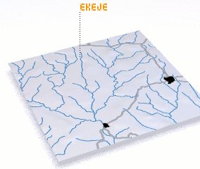 Places with similar names to Ekeje, Nigeria ::
Disclaimer :: Information on this page comes without warranty of any kind |
||
|
Where is Ekeje? Elevation and coordinates ::
Latitude (lat): 7°54'0"N Longitude (lon): 3°30'0"E
Elevation (approx.): 236m (map arrows pan, magnifying glasses zoom) |
||
|
Visiting Ekeje? Hotel/Accommodation ::
Book a hotel in Ekeje Travel Guide ::
Buy a travel guide for Nigeria rental cars ::
car rental offers GPS waypoint ::
download a GPX waypoint (PoI) of Ekeje for your GPS receiver
|
||