|
search place name
|
||
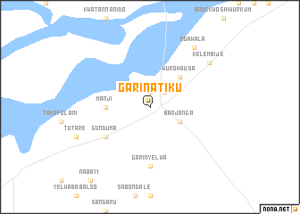
Garin Atiku (Gongola, Nigeria)Garin Atiku is a town in the Gongola region of Nigeria. An overview map of the region around Garin Atiku is displayed below.
regional and 3d topo map of Garin Atiku, Nigeria ::
Garin Atiku airports ::
The nearest airport is YOL - Yola, located 196.2 km east of Garin Atiku.
Other airports nearby include JOS - Jos Yakubu Gowon (237.3 km north west), Nearby towns ::
Mutum Biyu (1.9km north) //
Garin Magaji (2.6km north east) //
Barjanga (4.1km south east) //
Wuro Hausa (5.2km north east) //
Manji (5.5km west) //
Gunduma (6.6km south west) //
Garin Yelwa (7.4km south) //
Ndawala (9.2km north east) //
Kelembije (9.2km north east) //
[all distances 'as the bird flies' and approximate] 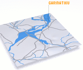 Places with similar names to Garin Atiku, Nigeria ::
// Gornitak (NO)
// Karnitki (PL)
// Kornatka (PL)
// Črnadak (BA)
// Crndak (BA)
// Garin Dogo (GH)
// Garin Daka (NE)
// Keur Ndiaga (SN)
// Keur Ndiaga (SN)
// Keur Ndiak (SN)
Disclaimer :: Information on this page comes without warranty of any kind |
||
|
Where is Garin Atiku? Elevation and coordinates ::
Latitude (lat): 8°37'0"N Longitude (lon): 10°46'0"E
Elevation (approx.): 141m (map arrows pan, magnifying glasses zoom) |
||
|
Visiting Garin Atiku? Hotel/Accommodation ::
Book a hotel in Garin Atiku Travel Guide ::
Buy a travel guide for Nigeria rental cars ::
car rental offers GPS waypoint ::
download a GPX waypoint (PoI) of Garin Atiku for your GPS receiver
|
||