|
search place name
|
||
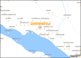
Gwara Maroji (Gongola, Nigeria)Gwara Maroji is a town in the Gongola region of Nigeria. An overview map of the region around Gwara Maroji is displayed below.
regional and 3d topo map of Gwara Maroji, Nigeria ::
Gwara Maroji airports ::
The nearest airport is SKO - Sokoto Sadiq Abubakar Iii Intl, located 199.8 km north east of Gwara Maroji.
Other airports nearby include NIM - Niamey Diori Hamani (283.2 km north west), Nearby towns ::
Tudun Giro (0.0km north) //
Issaferma (1.8km east) //
Wagabai (1.8km west) //
Tungan Alhaji (1.9km south) //
Tarawa (2.6km south east) //
Tungan Tule (3.6km east) //
Tungan Mallam Ibrahim (3.7km north) //
Ungwan Ruga (4.1km south east) //
Sirisanga (4.1km south east) //
Aljenaari (4.1km south west) //
Surugu (4.1km north west) //
Issakana (4.1km north east) //
Beriberijo (5.2km south east) //
Tungan Mallam Bawa (5.2km south east) //
Gwanasabo (5.2km north west) //
Sirisanga Koho (5.8km east) //
Juroki (5.8km west) //
Gwoge (5.8km west) //
Goakwara (7.5km east) //
Tankwasari (7.5km west) //
Shira (7.8km south east) //
Tunua (8.3km north east) //
Masama (9.2km north east) //
[all distances 'as the bird flies' and approximate] 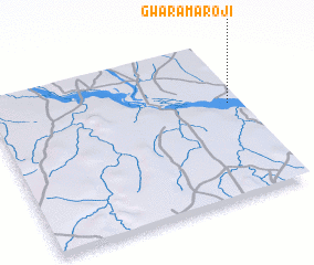 Places with similar names to Gwara Maroji, Nigeria :: Disclaimer :: Information on this page comes without warranty of any kind |
||
|
Where is Gwara Maroji? Elevation and coordinates ::
Latitude (lat): 11°36'0"N Longitude (lon): 3°57'0"E
Elevation (approx.): 157m (map arrows pan, magnifying glasses zoom) |
||
|
Visiting Gwara Maroji? Hotel/Accommodation ::
Book a hotel in Gwara Maroji Travel Guide ::
Buy a travel guide for Nigeria rental cars ::
car rental offers GPS waypoint ::
download a GPX waypoint (PoI) of Gwara Maroji for your GPS receiver
|
||