|
search place name
|
||
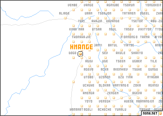
Hmange (Gongola, Nigeria)Hmange is a town in the Gongola region of Nigeria. An overview map of the region around Hmange is displayed below.
regional and 3d topo map of Hmange, Nigeria ::
Hmange airports ::
The nearest airport is MDI - Makurdi, located 54.9 km north of Hmange.
Other airports nearby include ENU - Enugu (133.7 km south west), BPC - Bamenda (220.2 km south east), ABV - Abuja Nnamdi Azikiwe Intl (241.4 km north west), BFX - Bafoussam (275.4 km south east), Nearby towns ::
Asundu (0.0km north) //
Tarpush (0.0km north) //
Homun (0.0km north) //
Ayongo (0.0km north) //
Aba (0.0km north) //
Ighute (0.0km north) //
Kuta (0.0km north) //
Kpugh (0.0km north) //
Yorokpuu (1.9km north) //
Duram (1.8km east) //
Wakar (1.8km east) //
Otoja (1.8km east) //
Igbor Ture (1.9km south) //
Ahonge (1.8km west) //
Dogo (1.8km west) //
Yiononge (1.9km south) //
Akpam (1.9km south) //
Nahakya (1.9km south) //
Itier (2.6km north east) //
Agaym (2.6km north east) //
Zege (2.6km south east) //
Ngur (2.6km south east) //
Tanong (2.6km south east) //
Irtwande (2.6km south east) //
Iydinyenge (2.6km south east) //
Hwykar (2.6km south east) //
Byuan (2.6km south east) //
Che (2.6km south east) //
Ikpakor (2.6km south east) //
[all distances 'as the bird flies' and approximate] 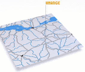 Places with similar names to Hmange, Nigeria ::
Disclaimer :: Information on this page comes without warranty of any kind |
||
|
Where is Hmange? Elevation and coordinates ::
Latitude (lat): 7°13'0"N Longitude (lon): 8°31'0"E
Elevation (approx.): 161m (map arrows pan, magnifying glasses zoom) |
||
|
Visiting Hmange? Hotel/Accommodation ::
Book a hotel in Hmange Travel Guide ::
Buy a travel guide for Nigeria rental cars ::
car rental offers GPS waypoint ::
download a GPX waypoint (PoI) of Hmange for your GPS receiver
|
||