|
search place name
|
||
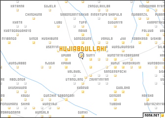
Huji Abdullahi (Gongola, Nigeria)Huji Abdullahi is a town in the Gongola region of Nigeria. An overview map of the region around Huji Abdullahi is displayed below.
regional and 3d topo map of Huji Abdullahi, Nigeria ::
Huji Abdullahi airports ::
The nearest airport is YOL - Yola, located 109.4 km south of Huji Abdullahi.
Other airports nearby include GOU - Garoua (118.4 km south east), MVR - Maroua Salak (169.2 km east), MIU - Maiduguri (187.0 km north), Nearby towns ::
Sasai (1.9km north) //
Kwaletin (1.9km north) //
Sunyi (1.8km east) //
Dongo Mutila (2.6km north west) //
Mbilla (2.6km south east) //
Upuba (3.6km west) //
Dongo Gure (3.7km north) //
Wuro Sanyobe (3.6km east) //
Walawal (4.1km south west) //
Garin Lambata (4.1km south east) //
Kpawa (4.1km south west) //
Dongo Jaure Usman (4.1km north west) //
Wuro Sanda (4.1km north east) //
Wuro Fedechi Ryiya (4.1km north east) //
Gombi (4.3km south) //
Mijidadi (5.2km south east) //
Gwolasu (5.2km north east) //
Marraraba (5.6km south) //
Balda (5.6km south) //
Sangere Manga Manga (5.6km south) //
Lainde (5.6km south) //
Gada Maisaje (5.6km south) //
Naiwa (5.6km north) //
Wuro Modibbo (5.5km east) //
Utanglang (5.9km south) //
Chabatta (5.8km west) //
Gudumiya (5.8km east) //
Usenyi Ngurore (5.8km west) //
Wuro Inbo (5.8km east) //
[all distances 'as the bird flies' and approximate] 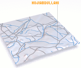 Places with similar names to Huji Abdullahi, Nigeria :: Disclaimer :: Information on this page comes without warranty of any kind |
||
|
Where is Huji Abdullahi? Elevation and coordinates ::
Latitude (lat): 10°12'0"N Longitude (lon): 12°44'0"E
Elevation (approx.): 548m (map arrows pan, magnifying glasses zoom) |
||
|
Visiting Huji Abdullahi? Hotel/Accommodation ::
Book a hotel in Huji Abdullahi Travel Guide ::
Buy a travel guide for Nigeria rental cars ::
car rental offers GPS waypoint ::
download a GPX waypoint (PoI) of Huji Abdullahi for your GPS receiver
|
||