|
search place name
|
||
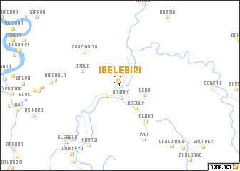
Ibelebiri (Gongola, Nigeria)Ibelebiri is a town in the Gongola region of Nigeria. An overview map of the region around Ibelebiri is displayed below.
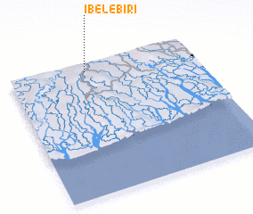
regional and 3d topo map of Ibelebiri, Nigeria ::
Ibelebiri airports ::
The nearest airport is PHC - Port Hartcourt Port Harcourt Intl, located 59.8 km east of Ibelebiri.
Other airports nearby include BNI - Benin (177.4 km north west), ENU - Enugu (212.2 km north east), CBQ - Calabar (214.2 km east), Nearby towns ::
 Places with similar names to Ibelebiri, Nigeria :: Disclaimer :: Information on this page comes without warranty of any kind |
||
|
Where is Ibelebiri? Elevation and coordinates ::
Latitude (lat): 4°56'13"N Longitude (lon): 6°24'58"E
Elevation (approx.): 15m (map arrows pan, magnifying glasses zoom) |
||
|
Visiting Ibelebiri? Hotel/Accommodation ::
Book a hotel in Ibelebiri Travel Guide ::
Buy a travel guide for Nigeria rental cars ::
car rental offers GPS waypoint ::
download a GPX waypoint (PoI) of Ibelebiri for your GPS receiver
|
||