|
search place name
|
||
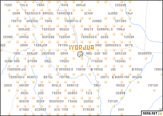
Iyorjua (Gongola, Nigeria)Iyorjua is a town in the Gongola region of Nigeria. An overview map of the region around Iyorjua is displayed below.
regional and 3d topo map of Iyorjua, Nigeria ::
Iyorjua airports ::
The nearest airport is MDI - Makurdi, located 46.7 km north of Iyorjua.
Other airports nearby include ENU - Enugu (149.9 km south west), BPC - Bamenda (213.2 km south east), ABV - Abuja Nnamdi Azikiwe Intl (244.3 km north west), BFX - Bafoussam (269.9 km south east), Nearby towns ::
Tyaryor (0.0km north) //
Moatev (0.0km north) //
Igam (0.0km north) //
Tuku (1.9km south) //
Vikityor (1.9km south) //
Buluka (1.9km south) //
Mbalaha (1.9km north) //
Kanyoon (1.9km north) //
Tarzanor (1.8km west) //
Ndur (1.8km east) //
Kumun (1.9km north) //
Uga (1.8km east) //
Tse Tor (1.8km west) //
Ikumbur (1.9km north) //
Agoom (1.8km east) //
Asongu (1.8km east) //
Iorval (1.8km east) //
Kutu (1.8km west) //
Avule (1.9km north) //
Tse Aike (1.8km east) //
Anyor (1.9km north) //
Ndeel (1.9km north) //
Abu (1.8km east) //
Sanka (2.6km south east) //
Aule (2.6km south east) //
Atii (2.6km south east) //
Uantswa (2.6km south east) //
Agbel (2.6km south east) //
Oosom (2.6km north west) //
[all distances 'as the bird flies' and approximate] 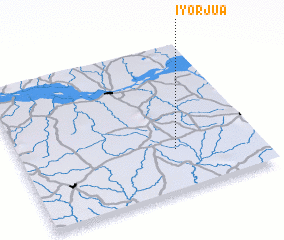 Places with similar names to Iyorjua, Nigeria :: Disclaimer :: Information on this page comes without warranty of any kind |
||
|
Where is Iyorjua? Elevation and coordinates ::
Latitude (lat): 7°17'0"N Longitude (lon): 8°39'0"E
Elevation (approx.): 113m (map arrows pan, magnifying glasses zoom) |
||
|
Visiting Iyorjua? Hotel/Accommodation ::
Book a hotel in Iyorjua Travel Guide ::
Buy a travel guide for Nigeria rental cars ::
car rental offers GPS waypoint ::
download a GPX waypoint (PoI) of Iyorjua for your GPS receiver
|
||