|
search place name
|
||
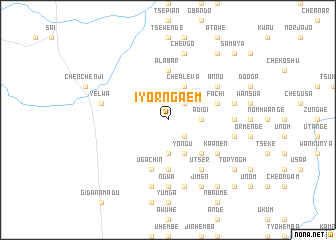
Iyorngaem (Gongola, Nigeria)Iyorngaem is a town in the Gongola region of Nigeria. An overview map of the region around Iyorngaem is displayed below.
regional and 3d topo map of Iyorngaem, Nigeria ::
Iyorngaem airports ::
The nearest airport is MDI - Makurdi, located 156.7 km west of Iyorngaem.
Other airports nearby include BPC - Bamenda (160.1 km south), BFX - Bafoussam (218.5 km south), FOM - Foumban Nkounja (219.7 km south), Nearby towns ::
Chanyi (2.6km south east) //
Ujinyam (2.6km south east) //
Yongu (2.6km north east) //
Kpamber (3.7km south) //
Adigi (3.7km east) //
Yongu (4.1km south east) //
Chealeva (4.1km north east) //
Hingir (5.2km south east) //
Atov (5.2km south east) //
Alabar (5.6km north) //
Dasenda (5.6km south) //
Akpela (5.6km south) //
Uba (5.9km south) //
Ugachin (5.9km south) //
Fachi (5.8km east) //
Utser (6.7km south east) //
Kaanen (6.6km south east) //
Adigi (6.6km south east) //
Avur (6.6km south east) //
Aligbo (6.6km north east) //
Annu (6.6km north east) //
Maluanti (7.4km south) //
Kpenwe (7.4km east) //
Ngwa (7.4km south) //
Baki (7.6km east) //
Agema (7.6km south) //
Nomyugh (7.6km east) //
Shonkyaa (7.6km east) //
Kuse (7.6km south) //
[all distances 'as the bird flies' and approximate] 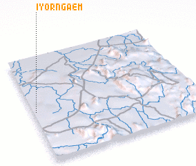 Places with similar names to Iyorngaem, Nigeria :: Disclaimer :: Information on this page comes without warranty of any kind |
||
|
Where is Iyorngaem? Elevation and coordinates ::
Latitude (lat): 7°29'0"N Longitude (lon): 10°1'0"E
Elevation (approx.): 220m (map arrows pan, magnifying glasses zoom) |
||
|
Visiting Iyorngaem? Hotel/Accommodation ::
Book a hotel in Iyorngaem Travel Guide ::
Buy a travel guide for Nigeria rental cars ::
car rental offers GPS waypoint ::
download a GPX waypoint (PoI) of Iyorngaem for your GPS receiver
|
||