|
search place name
|
||
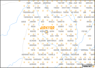
Jirkyor (Gongola, Nigeria)Jirkyor is a town in the Gongola region of Nigeria. An overview map of the region around Jirkyor is displayed below.
regional and 3d topo map of Jirkyor, Nigeria ::
Jirkyor airports ::
The nearest airport is MDI - Makurdi, located 57.7 km north of Jirkyor.
Other airports nearby include ENU - Enugu (137.5 km south west), BPC - Bamenda (212.1 km south east), ABV - Abuja Nnamdi Azikiwe Intl (248.7 km north west), BFX - Bafoussam (267.5 km south east), Nearby towns ::
Ukywl Amu (0.0km north) //
Chiga (0.0km north) //
Lunjo (0.0km north) //
Yuan (1.8km west) //
Acka (1.8km west) //
Tarma (1.8km west) //
Abo (1.8km west) //
Kwachimin (1.9km south) //
Utaji (1.9km south) //
Azer (1.8km east) //
Kusugh (1.8km east) //
Shagba (1.8km east) //
Akerhiev (1.8km east) //
Agen (1.8km east) //
Uvihi (1.8km east) //
Hembe (1.8km east) //
Uzomon (2.6km south west) //
Ude (2.6km north west) //
Uzu (2.6km south east) //
Tsegengel (2.6km south east) //
Taegh (2.6km south east) //
Nyenge (2.6km south east) //
Tyormongo (2.6km south east) //
Aosu (2.6km north east) //
Agber (2.6km north east) //
Kpem (2.6km north east) //
Nenge (2.6km north east) //
Pevkyaa (2.6km north east) //
Aba (2.6km north east) //
[all distances 'as the bird flies' and approximate]  Places with similar names to Jirkyor, Nigeria :: Disclaimer :: Information on this page comes without warranty of any kind |
||
|
Where is Jirkyor? Elevation and coordinates ::
Latitude (lat): 7°11'0"N Longitude (lon): 8°35'0"E
Elevation (approx.): 131m (map arrows pan, magnifying glasses zoom) |
||
|
Visiting Jirkyor? Hotel/Accommodation ::
Book a hotel in Jirkyor Travel Guide ::
Buy a travel guide for Nigeria rental cars ::
car rental offers GPS waypoint ::
download a GPX waypoint (PoI) of Jirkyor for your GPS receiver
|
||