|
search place name
|
||
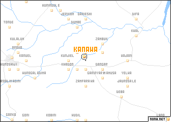
Kanawa (Gongola, Nigeria)Kanawa is a town in the Gongola region of Nigeria. An overview map of the region around Kanawa is displayed below.
regional and 3d topo map of Kanawa, Nigeria ::
Kanawa airports ::
The nearest airport is YOL - Yola, located 166.7 km south east of Kanawa.
Other airports nearby include MIU - Maiduguri (259.6 km north east), Nearby towns ::
Garin Lanotali (1.9km south) //
Danaje (1.9km north) //
Foli (2.6km south west) //
Galawo (2.6km north west) //
Kunjiel (3.6km west) //
Dangar (4.1km south east) //
Garin Malam Ali (4.1km north east) //
Ardo Salato (4.1km south west) //
Kwadon (4.1km south west) //
Garin Yarima Musa (5.2km south east) //
Zambuk (5.2km north east) //
Zamfarawa (5.6km south) //
Dumbe (7.6km north) //
Deba (11.1km south east) //
[all distances 'as the bird flies' and approximate] 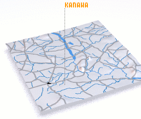 Places with similar names to Kanawa, Nigeria ::
Disclaimer :: Information on this page comes without warranty of any kind |
||
|
Where is Kanawa? Elevation and coordinates ::
Latitude (lat): 10°17'0"N Longitude (lon): 11°19'0"E
Elevation (approx.): 342m (map arrows pan, magnifying glasses zoom) |
||
|
Visiting Kanawa? Hotel/Accommodation ::
Book a hotel in Kanawa Travel Guide ::
Buy a travel guide for Nigeria rental cars ::
car rental offers GPS waypoint ::
download a GPX waypoint (PoI) of Kanawa for your GPS receiver
|
||