|
search place name
|
||
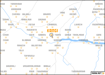
Kangi (Gongola, Nigeria)Kangi is a town in the Gongola region of Nigeria. An overview map of the region around Kangi is displayed below.
regional and 3d topo map of Kangi, Nigeria ::
Kangi airports ::
The nearest airport is SKO - Sokoto Sadiq Abubakar Iii Intl, located 38.2 km north east of Kangi.
Other airports nearby include QUS - Gusau (193.6 km east), Nearby towns ::
Adegata (0.0km north) //
Kangi Balaru (1.8km west) //
Nasarawa (1.8km west) //
Tsofo (1.8km east) //
Gadara Magaji (2.6km south west) //
Shagari (2.6km south east) //
Lambagel (3.7km north) //
Bussa Mangu (3.7km north) //
Chanchama Bussa (3.7km north) //
Makera (3.6km west) //
Sabaru (3.6km west) //
Adegalagaji (3.6km west) //
Gasge (3.6km west) //
Labas (4.1km north west) //
Kaurare (4.1km south west) //
Kalangu (4.1km south west) //
Berdeberde (4.1km north west) //
Wanke (4.1km south east) //
Kaura (5.2km south east) //
Ganga (5.4km east) //
Mareke (5.6km south) //
Donu (5.8km north) //
Adamu (5.7km east) //
Gudurega (5.7km west) //
Kaura (5.8km south) //
Gagawa (6.6km north west) //
Bulanyaki (6.6km south west) //
Koya (7.2km west) //
Gwarka Ido (7.2km east) //
[all distances 'as the bird flies' and approximate] 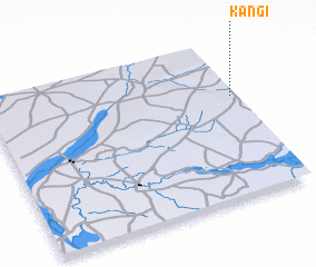 Places with similar names to Kangi, Nigeria ::
Disclaimer :: Information on this page comes without warranty of any kind |
||
|
Where is Kangi? Elevation and coordinates ::
Latitude (lat): 12°39'0"N Longitude (lon): 4°59'0"E
Elevation (approx.): 256m (map arrows pan, magnifying glasses zoom) |
||
|
Visiting Kangi? Hotel/Accommodation ::
Book a hotel in Kangi Travel Guide ::
Buy a travel guide for Nigeria rental cars ::
car rental offers GPS waypoint ::
download a GPX waypoint (PoI) of Kangi for your GPS receiver
|
||