|
search place name
|
||
Kita (Gongola, Nigeria)Kita is a town in the Gongola region of Nigeria. An overview map of the region around Kita is displayed below.
regional and 3d topo map of Kita, Nigeria ::

Kita airports ::
The nearest airport is ILR - Ilorin, located 29.1 km east of Kita.
Other airports nearby include IBA - Ibadan (127.1 km south), AKR - Akure (180.5 km south east), LOS - Lagos Murtala Muhammed (233.6 km south west), Nearby towns ::
Gbemi (0.0km north) //
Elerufila Ile (0.0km north) //
Apere (1.8km west) //
Olore (1.8km east) //
Idi Emi (1.9km north) //
Agesin (2.6km north west) //
Okomaro (2.6km north west) //
Akute (3.7km west) //
Eleiyele (3.7km west) //
Alafon (3.7km south) //
Adafila (3.7km south) //
Romi (3.7km north) //
Aladie Ile (3.7km east) //
Songa (3.7km east) //
Onikoko (4.1km south west) //
Elesin (4.1km south west) //
Ojoku (4.1km north west) //
Ibadi Ori (4.1km south east) //
Amasa (4.1km north east) //
Oniki (4.1km north east) //
Turawa (5.2km north west) //
Botin (5.2km north west) //
Baba Eko (5.2km north west) //
Ori Oke (5.5km east) //
Jegede (5.5km east) //
Igbo Onito (5.6km south) //
Alagogo (5.8km east) //
Onire (5.8km west) //
Jagun (5.8km east) //
[all distances 'as the bird flies' and approximate] 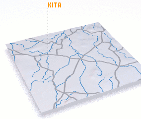 Places with similar names to Kita, Nigeria ::
Disclaimer :: Information on this page comes without warranty of any kind |
||
|
Where is Kita? Elevation and coordinates ::
Latitude (lat): 8°29'0"N Longitude (lon): 4°14'0"E
Elevation (approx.): 337m (map arrows pan, magnifying glasses zoom) |
||
|
Visiting Kita? Hotel/Accommodation ::
Book a hotel in Kita Travel Guide ::
Buy a travel guide for Nigeria rental cars ::
car rental offers GPS waypoint ::
download a GPX waypoint (PoI) of Kita for your GPS receiver
|
||