|
search place name
|
||
Nyamkyo (Gongola, Nigeria)Nyamkyo is a town in the Gongola region of Nigeria. An overview map of the region around Nyamkyo is displayed below.
regional and 3d topo map of Nyamkyo, Nigeria ::

Nyamkyo airports ::
The nearest airport is MDI - Makurdi, located 68.7 km north of Nyamkyo.
Other airports nearby include ENU - Enugu (137.9 km south west), BPC - Bamenda (199.6 km south east), BFX - Bafoussam (254.6 km south east), ABV - Abuja Nnamdi Azikiwe Intl (262.0 km north west), Nearby towns ::
Jirgba (0.0km north) //
Nyior Yongu (0.0km north) //
Mande (0.0km north) //
Adi (0.0km north) //
Kor (0.0km north) //
Korgba (1.9km south) //
Igoogh (1.9km south) //
Chi (1.9km south) //
Shaegb (1.9km south) //
Agbinda (1.9km south) //
Jigba (1.9km north) //
Zashir (1.9km north) //
Orduwe (1.8km west) //
Jabi (1.8km west) //
Beba (1.8km east) //
Agbelagba (1.8km east) //
Nyior (1.9km north) //
Azaga (1.8km east) //
Ijoho (1.8km east) //
Agba (1.8km east) //
Nyamtyavel (1.8km east) //
Washachi (1.9km north) //
Mtswenem (1.9km north) //
Shaangahar (1.8km east) //
Jeje (1.8km east) //
Yongu (1.9km north) //
Akoon (2.6km south west) //
Abahwange (2.6km south east) //
Apine (2.6km south west) //
[all distances 'as the bird flies' and approximate] 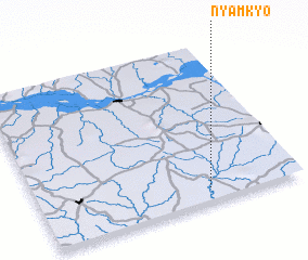 Places with similar names to Nyamkyo, Nigeria ::
// Nyamakuyu (KE)
Disclaimer :: Information on this page comes without warranty of any kind |
||
|
Where is Nyamkyo? Elevation and coordinates ::
Latitude (lat): 7°5'0"N Longitude (lon): 8°39'0"E
Elevation (approx.): 88m (map arrows pan, magnifying glasses zoom) |
||
|
Visiting Nyamkyo? Hotel/Accommodation ::
Book a hotel in Nyamkyo Travel Guide ::
Buy a travel guide for Nigeria rental cars ::
car rental offers GPS waypoint ::
download a GPX waypoint (PoI) of Nyamkyo for your GPS receiver
|
||