|
search place name
|
||
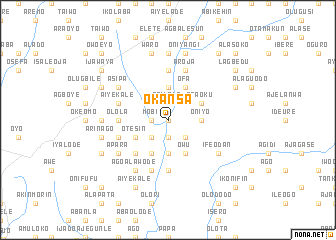
Okansa (Gongola, Nigeria)Okansa is a town in the Gongola region of Nigeria. An overview map of the region around Okansa is displayed below.
regional and 3d topo map of Okansa, Nigeria ::
Okansa airports ::
The nearest airport is IBA - Ibadan, located 57.0 km south of Okansa.
Other airports nearby include ILR - Ilorin (77.9 km north east), AKR - Akure (150.9 km south east), LOS - Lagos Murtala Muhammed (165.6 km south west), BNI - Benin (239.6 km south east), Nearby towns ::
Bale (0.0km north) //
Mobi (1.8km west) //
Afilala (1.9km north) //
Ekeje (1.9km south) //
Idiya (2.6km north west) //
Omo Oba (2.6km south west) //
Odo Oba Ejemu (2.6km south west) //
Maromipin (2.6km south west) //
Iwo Ate Oke (2.6km south east) //
Iwo Ate (2.6km south east) //
Odo Oba (3.7km north) //
Asipa (3.7km south) //
Oniyo (3.7km east) //
Otesin (4.1km south west) //
Ofa (4.1km north east) //
Mowolowo (4.1km north east) //
Bashorun Yemoja Ajiga (4.1km south west) //
Aba Oku (4.1km north east) //
Owu (4.1km south east) //
Emi Abata (5.2km south west) //
Baba Elesin (5.2km south west) //
Familopa (5.6km south) //
Olola (5.5km west) //
Oluokun (5.6km north) //
Buraimo (5.9km south) //
Aiyekale (5.8km west) //
Oniyangi (5.8km west) //
Onisa (5.8km west) //
Olonje (5.8km west) //
[all distances 'as the bird flies' and approximate] 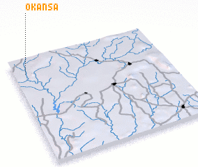 Places with similar names to Okansa, Nigeria ::
Disclaimer :: Information on this page comes without warranty of any kind |
||
|
Where is Okansa? Elevation and coordinates ::
Latitude (lat): 7°52'0"N Longitude (lon): 4°5'0"E
Elevation (approx.): 256m (map arrows pan, magnifying glasses zoom) |
||
|
Visiting Okansa? Hotel/Accommodation ::
Book a hotel in Okansa Travel Guide ::
Buy a travel guide for Nigeria rental cars ::
car rental offers GPS waypoint ::
download a GPX waypoint (PoI) of Okansa for your GPS receiver
|
||