|
search place name
|
||
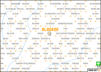
Ologere (Gongola, Nigeria)Ologere is a town in the Gongola region of Nigeria. An overview map of the region around Ologere is displayed below.
regional and 3d topo map of Ologere, Nigeria ::
Ologere airports ::
The nearest airport is ILR - Ilorin, located 20.5 km south east of Ologere.
Other airports nearby include IBA - Ibadan (135.3 km south), AKR - Akure (177.9 km south east), LOS - Lagos Murtala Muhammed (243.5 km south west), Nearby towns ::
Oke Aiye (1.8km west) //
Budoke (1.9km south) //
Efue (1.9km south) //
Budo Atan (1.9km south) //
Afo (1.8km east) //
Igbono (2.6km south west) //
Ogundele (2.6km south west) //
Mogaji (2.6km north east) //
Kango (3.7km west) //
Olowo (3.7km south) //
Alagogo (3.7km north) //
Iyabudo (3.7km east) //
Idiya (3.7km north) //
Idi Apa (4.1km south west) //
Adinimole (4.1km south east) //
Ajibowu (4.1km south east) //
Agbolu Isale (4.1km north west) //
Adabata (4.1km south east) //
Bandawaki (5.2km south west) //
Elebure Isale (5.2km north west) //
Ago (5.2km south east) //
Gbeno Gbeno (5.2km south east) //
Agbolu (5.6km north) //
Oketepe Oniyangan (5.5km east) //
Omo Erin (5.8km west) //
Age (5.8km west) //
Ipata Ogun (5.8km west) //
Berekodo Dongari (5.9km south) //
Akuyorin (5.9km south) //
[all distances 'as the bird flies' and approximate] 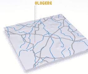
Disclaimer :: Information on this page comes without warranty of any kind |
||
|
Where is Ologere? Elevation and coordinates ::
Latitude (lat): 8°32'0"N Longitude (lon): 4°20'0"E
Elevation (approx.): 375m (map arrows pan, magnifying glasses zoom) |
||
|
Visiting Ologere? Hotel/Accommodation ::
Book a hotel in Ologere Travel Guide ::
Buy a travel guide for Nigeria rental cars ::
car rental offers GPS waypoint ::
download a GPX waypoint (PoI) of Ologere for your GPS receiver
|
||