|
search place name
|
||
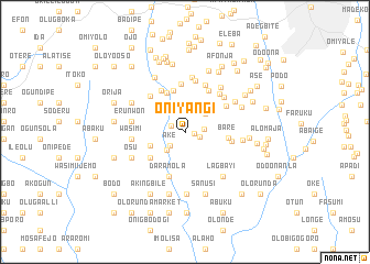
Oniyangi (Oyo, Nigeria)Oniyangi is a town in the Oyo region of Nigeria. An overview map of the region around Oniyangi is displayed below.
regional and 3d topo map of Oniyangi, Nigeria ::
Oniyangi airports ::
The nearest airport is IBA - Ibadan, located 23.8 km north east of Oniyangi.
Other airports nearby include LOS - Lagos Murtala Muhammed (92.3 km south west), ILR - Ilorin (151.0 km north east), AKR - Akure (167.8 km east), COO - Cotonou Cadjehoun (184.7 km south west), Nearby towns ::
Amao (0.9km east) //
Ahoro (1.5km north west) //
Alapo (1.5km east) //
Olaoye (2.0km east) //
Ake (2.1km south west) //
Koiyejo (2.6km south west) //
Amoje (2.6km north east) //
Adewole (2.7km north east) //
Ajagbega (3.0km north west) //
Baba Ilugun (3.7km west) //
Dende (3.8km north west) //
Tijani (4.3km north) //
Ariku (4.3km north west) //
Amini (4.4km south west) //
Bare (4.5km east) //
Daramola (4.8km south) //
Obospkoto (4.8km north west) //
Ayantola (4.8km north east) //
Akilapa (4.8km east) //
Oyarinde (4.9km north) //
Ejoekun (4.9km north east) //
Itori (5.0km north west) //
Kogbo (5.2km north east) //
Oleyo (5.2km north east) //
Abada (5.3km north east) //
Olugbemi (5.3km north) //
Wasimi (5.4km west) //
Erunwon (5.4km west) //
Adewale (5.6km north) //
[all distances 'as the bird flies' and approximate] 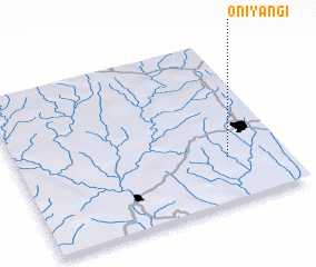 Places with similar names to Oniyangi, Nigeria ::
Disclaimer :: Information on this page comes without warranty of any kind |
||
|
Where is Oniyangi? Elevation and coordinates ::
Latitude (lat): 7°16'25"N Longitude (lon): 3°46'54"E
Elevation (approx.): 156m (map arrows pan, magnifying glasses zoom) |
||
|
Visiting Oniyangi? Hotel/Accommodation ::
Book a hotel in Oniyangi Travel Guide ::
Buy a travel guide for Nigeria rental cars ::
car rental offers GPS waypoint ::
download a GPX waypoint (PoI) of Oniyangi for your GPS receiver
|
||