|
search place name
|
||
Opuowe (Gongola, Nigeria)Opuowe is a town in the Gongola region of Nigeria. An overview map of the region around Opuowe is displayed below.
regional and 3d topo map of Opuowe, Nigeria ::

Opuowe airports ::
The nearest airport is CBQ - Calabar, located 117.6 km south of Opuowe.
Other airports nearby include ENU - Enugu (129.6 km north west), BPC - Bamenda (164.9 km east), MDI - Makurdi (188.4 km north), BFX - Bafoussam (197.4 km east), Nearby towns ::
Ekpokpa (1.8km west) //
Nkum (1.9km south) //
Akayuk (2.6km north east) //
Lifuojong (3.7km north) //
Okanga (4.1km south west) //
Okuni (5.6km south) //
Akam (5.9km south) //
Okoroba Nkum (5.8km east) //
Nde (5.9km north) //
Ekamtonofo (7.4km north) //
Nde (7.8km north east) //
Mkpara (7.8km north west) //
Ukanga (7.8km north west) //
Ikom (8.3km south east) //
Etako (9.2km north west) //
Ndim (9.2km north west) //
[all distances 'as the bird flies' and approximate] 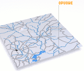
Disclaimer :: Information on this page comes without warranty of any kind |
||
|
Where is Opuowe? Elevation and coordinates ::
Latitude (lat): 6°0'0"N Longitude (lon): 8°38'0"E
Elevation (approx.): 49m (map arrows pan, magnifying glasses zoom) |
||
|
Visiting Opuowe? Hotel/Accommodation ::
Book a hotel in Opuowe Travel Guide ::
Buy a travel guide for Nigeria rental cars ::
car rental offers GPS waypoint ::
download a GPX waypoint (PoI) of Opuowe for your GPS receiver
|
||