|
search place name
|
||
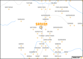
Sankom (Gongola, Nigeria)Sankom is a town in the Gongola region of Nigeria. An overview map of the region around Sankom is displayed below.
regional and 3d topo map of Sankom, Nigeria ::
Sankom airports ::
The nearest airport is YOL - Yola, located 112.2 km north of Sankom.
Other airports nearby include GOU - Garoua (183.8 km north east), NGE - N'gaoundere Ngaoundere (197.4 km south east), Nearby towns ::
Batal Fulani (1.9km north) //
Sakamidere (1.8km east) //
Ali (1.9km south) //
Batal Chamba (2.6km north east) //
Kurum (2.6km south west) //
Arna Jatau (3.7km west) //
Datingo (3.7km west) //
Gangtoma (3.7km south) //
Tyabun (3.7km south) //
Nalomi (4.1km south east) //
Daboma (4.1km north east) //
Dabudum (4.1km south west) //
Gangtimani (5.2km south east) //
Bantahi (5.6km south) //
Sugu (5.9km north) //
Wuro Hausa (5.9km north) //
Gamu (5.9km south) //
Wukari (6.7km north east) //
Dawari (6.7km south east) //
Dimbi (6.7km south east) //
Gang Pokani (7.3km east) //
Timtan (7.4km south) //
Jelvani (7.6km south) //
Sabere (10.4km south east) //
[all distances 'as the bird flies' and approximate] 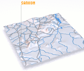 Places with similar names to Sankom, Nigeria ::
Disclaimer :: Information on this page comes without warranty of any kind |
||
|
Where is Sankom? Elevation and coordinates ::
Latitude (lat): 8°19'0"N Longitude (lon): 12°3'0"E
Elevation (approx.): 554m (map arrows pan, magnifying glasses zoom) |
||
|
Visiting Sankom? Hotel/Accommodation ::
Book a hotel in Sankom Travel Guide ::
Buy a travel guide for Nigeria rental cars ::
car rental offers GPS waypoint ::
download a GPX waypoint (PoI) of Sankom for your GPS receiver
|
||